At the February 11, Digital Landscapes: Technology and Land Rights event we received numerous interesting questions about how rapid technological innovations in the land sector can help improve the lives of women and men across the globe. Today, we would like to share the three questions we found most interesting and provide some additional resources where you can learn more about the technologies USAID is piloting in the land sector.
Question: This [mobile] technology is great. But how does it engage with the statutory – customary divide in land rights? How would it engage with returning refugees who have no documents?
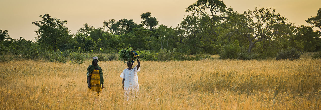
Answer: This is an important insight and one to which USAID is attentive. For example, USAID has developed Mobile Applications to Secure Tenure (MAST), a suite of flexible tools for securing customary land rights in different contexts. One of these mobile applications is currently being used to map and record customary land rights in Zambia’s Eastern Province. Approximately 90 percent of the land in Zambia is held under customary systems and there are few highly accurate and accessible maps available. With pressure to access and use land and land-based resources increasing—driving conflict over land—finding ways to secure customary rights is an important challenge. To learn more about USAID’s MAST/Zambia efforts, see this blog and this photo essay.
Question: How can women participate more actively in connecting technology and land rights, especially in the Global South?
Answer: Recognizing that it is often difficult for women to access, use and benefit from technology, USAID places a special emphasis on engaging with women—as both technology users and project beneficiaries. For example, the USAID MAST/Tanzania pilot maps and records land rights in Iringa Rural District. This project works with local youth, called Trusted Intermediaries, and trains them to capture geospatial and land rights information using GPS-enabled smartphones. USAID has worked closely will villagers to train and support female Trusted Intermediaries, and to ensure that village-level governance and land adjudication bodies have sufficient female representation. USAID has also provided specialized training on women’s land rights under the law to ensure that as rights are recorded and mapped, women have a clear, respected voice in the process. To learn more about USAID’s MAST/Tanzania efforts, see this commentary.
Question: Community-based land administration, which requires computers, can be difficult to sustain without adequate funds, electricity, secure locations, technical support. What are your tips for improving sustainability?
Answer: As noted by panelist Frank Pichel of Cadasta Foundation, new developments such as cloud-based computing and data management may be one interesting option to better ensure sustainability of community-oriented land administration. As costs to digitally host land information decease, more communities should be able to record and store a variety of information about land, boundaries, natural resources, migration routes, etc. on accessible platforms. One interesting example of a cloud-based platform that is helping promote sustainable outcomes for land management—LandPKS—was highlighted by USAID’s Senior Geospatial Analyst, Ioana Bouvier. Learn more about LandPKS (a joint project supported by USAID and USDA) here.
Learn more about technology and land rights by watching a complete recording of the Digital Landscapes panel discussion.