This blog was originally published on ClimateLinks.
Landscapes and the complex, interlinked spatial units that comprise them are changing at an accelerating rate. Land use change, especially deforestation and forest degradation, are among the main contributors to global greenhouse emissions. Quantifying and monitoring forest conversion and better understanding the drivers of these changes is therefore paramount to supporting sustainable landscapes initiatives and increasing the potential for carbon sequestration globally.
The increased availability of spatial data and satellite imagery, combined with advances in computing power, are creating unprecedented opportunities for monitoring of deforestation and forest degradation at global and regional scales.
Forest Monitoring
The USAID-supported Global Forest Watch platform enables thousands of users to access and share reliable forest information globally. Other geospatial platforms provide updated forest loss information for tropical regions, such as the Terra-I platform and the Monitoring of the Andean Amazon Project (MAAP).
Development programs are also using geospatial data and analysis at the country level to enhance understanding of forest degradation. In India, an estimated 41 percent of the total forest has been degraded to meet the country’s growing demand for fuelwood and timber. There, the USAID-funded Forest-Plus initiative uses geospatial analysis and technology to develop and rapidly share forest inventories and forest carbon estimates.
Cross-Sector Integration
Data provided through global monitoring platforms can help practitioners integrate development programming across sectors, identify high priority landscapes and monitor landscapes with high potential for carbon sequestration and/or ecosystem services. In Cambodia, USAID used spatial analysis and a landscape approach to integrate programming across sector objectives and to define the extended Prey Lang Landscape, which includes the Prey Lang Wildlife Sanctuary, protected areas and catchment basins that provide ecosystem services and are hydrologically connected to the Tonlé Sap ecosystem.
Empower Communities
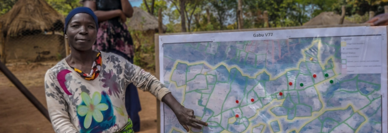
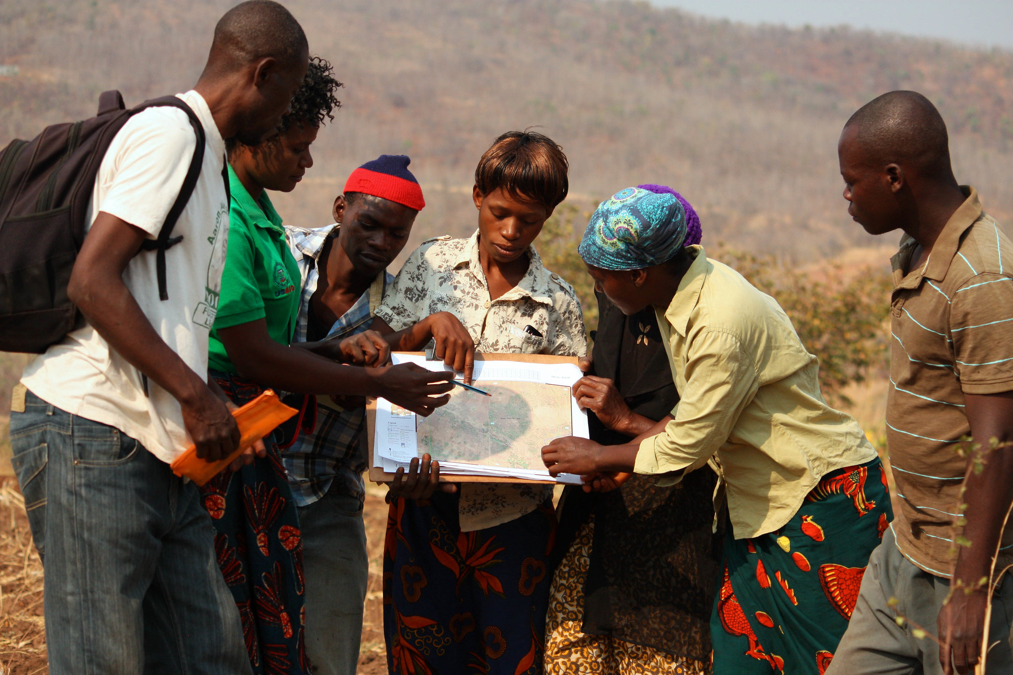
Local communities—the people who live on, manage and use landscapes and resources—are central to understanding complex landscape dynamics and addressing key drivers of land use change. USAID and other development agencies are increasingly using geospatial analysis and technology for crowdsourcing and community-based approaches, such as USAID’s MAST initiative, a participatory approach that empowers communities with the tools to quickly, accurately and transparently map and document their own land and resource rights.
Test Development Hypotheses
Geospatial analysis can also be used to generate evidence aimed at testing the theory of change and understanding the potential impact of intervention within landscapes. USAID recently used geospatial analysis as part of an impact evaluation in Zambia to analyze community perceptions of forest tenure and forest condition. Findings showed that more secure forest tenure is associated with better-reported forest condition.
Guidance and Requirements
USAID missions and partners have access to a growing number of resources to support landscape analysis and to build capacity for spatial data collection and management. USAID developed new data guidance and specific location requirements for data collection at the activity level, which helps improve decision-making and adaptive management throughout the development program cycle. This strengthens USAID’s ability to plan, deliver, assess and adapt development programming in an accountable, transparent manner.
USAID missions can also access specialized geospatial analytical and capacity building support within the Bureau for Education, Energy and the Environment/Land and Urban office or the USAID Geocenter. Missions can also leverage the capacity and expertise of the SERVIR hubs, a community of practice comprising over 50 specialists, and a consortium of YouthMappers that connects student mapping charters around the world.