LAND organized several courses to train Trainers in land administration and land use (LALU) at federal and regional levels. Training was given in geographic information system (GIS) and remote sensing, local level land use planning and conventional methods of land use planning.Thirty-five experts were trained in GIS, remote sensing, and Land use planning. These trainers, in turn, trained 206 LALU professionals in six regional states.
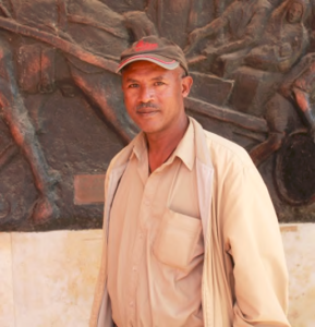
Yigremew Alemu is one of the recipients of the training on land use planning. He is the Land Use Expert of the Amhara Region Bureau of Environmental Protection and Land Administration. Yigremew has been working for the bureau for more than 10 years.
He said the major land issues of his region are land degradation, land use conflict, and over-population that can be addressed with a strong commitment from government officials and training of experts.
He added that educating the community on these issues is crucial.Speaking of the training he received, he said “It is useful because it gives broad coverage of conventional land use planning and we were enabled to develop a good manual for woreda and kebele level implementation. I will train our Zone and woreda staff who do not have detailed knowledge about land use planning. Our communities will benefit because we can now show them how land use plans are prepared and implemented.”
The training of trainers was organized in such a way that it includes practical exercises and field visit to model watershed research sites such as Malkassa Agricultural Research Center (MARC). Yigremew said, “while visiting Malkassa research center, I observed that land use planning and their implementation at the watershed level should be tied with research to make it evidence-based.”

