Woman of the Year

A leader for all rural women in Colombia

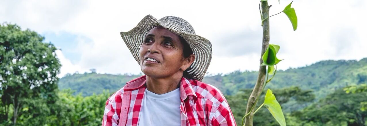
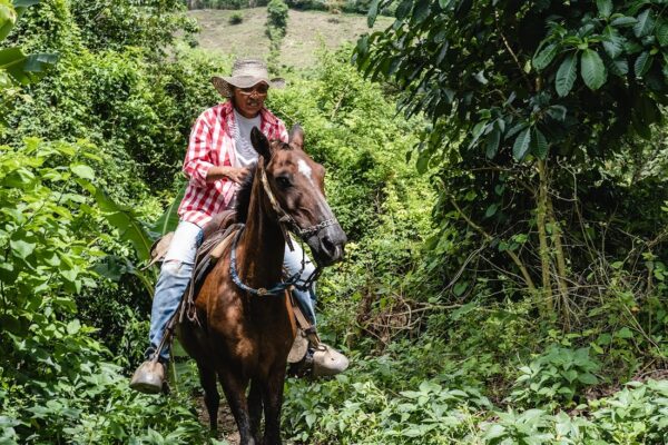
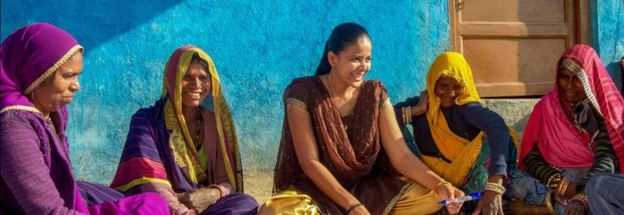
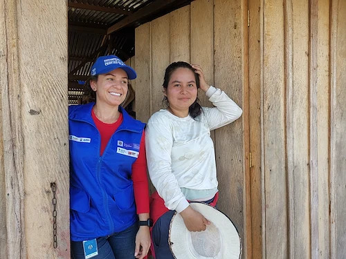
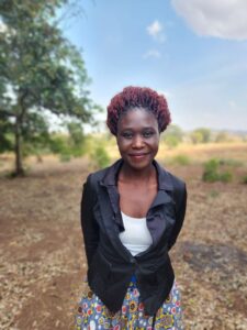
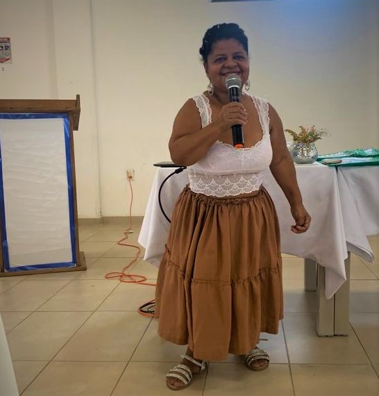
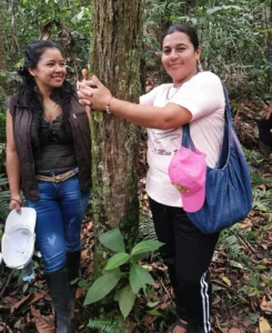
When Lizette Del Valle moved to Guamito village in the municipality of El Carmen de Bolívar 25 years ago, the many farmers wanted to create a farmers’ association, but begrudgingly accepted the participation of women. For them, women had no place making decisions about what happens in the farming fields, and their roles should be linked to the household cooking and taking care of the family. Still, Lizette would accompany her husband and attend the meetings to see exactly who knew what.

“I said, ‘Wow, why not involve women too? They also need support from a farmer’s association.”

A few years went by, and she had the opportunity to become the legal representative of Asopromixgua, the association. She applied and won her position.

“I ran for that position because there were many women farmers in our village, and I wanted them to have a chance to be members like the men. It was hard. Many men said that a woman could not represent an association run by men.”

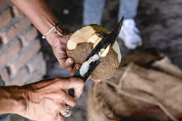
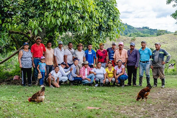
Under Lizette’s leadership, she managed to get 45 women involved as members of the association. Today, Asopromixgua is dedicated to the production of the root vegetable yam. Asopromixgua is a member of the USAID-facilitated Public-Private Partnership to improve marketing and processing of yam in the Montes de María region.

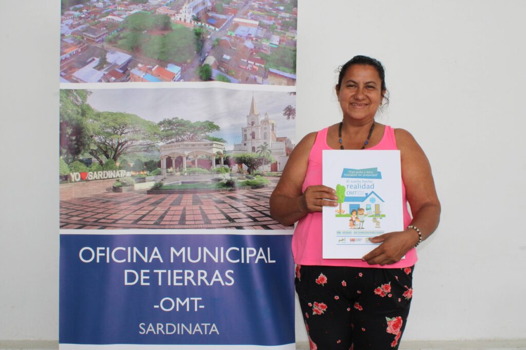
With the support of USAID-funded Land for Prosperity program, Lizette also became involved in land issues and is volunteering with the Municipal Land Office in her municipality to distribute information on land formalization and women’s rights. In 2021, Lizette won the Rural Woman of the Year award, sponsored by the SHE IS Foundation and the CEA Fundación. She received a computer as a prize, which today is being used to keep the books for Asopromixgua.

“I am happy to represent all rural women, because in Colombia there are many of us women who work and live in the countryside.”

Thanks to Lizette’s involvement, Asopromixgua has exported more than 22 metric tons of yams to the United States through a commercial partner that they met thanks to the PPP. The export directly benefits 80 families in Guamito, and Lizette’s association provided employment for 16 youth to load the container.

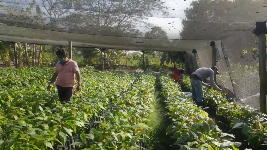
Asopromixgua and other members of the PPP have also benefited from the production of clean, quality yam starts in laboratories with the Colinnova Program, led by Confecámaras and the Ministry of Science, Technology and Innovation. The local seed bank was able to harvest almost one ton of seeds of the hawthorn yam and diamond varieties, which will enable it to expand planting in the next cycle.

Asopromixgua exported more than 22 metric tons of yams to the United States through a commercial partner that they met thanks to the PPP.

It’s Earth Day—Here’s Why Securing Land Rights Matters for Our Planet

By Ioana Bouvier, Senior Spatial Science and Technology Advisor, USAID DDI/EEI/LRG

Last year, the U.S. Agency for International Development (USAID) launched its new Climate Strategy, laying out an ambitious global plan to address climate change over the next decade. Critical to this effort is inclusive, sustainable, and locally-based management of land and natural resources. Effective governance of land and natural resources helps to protect natural landscapes, conserve biodiversity, and limit carbon emissions, all of which can mitigate climate change. 

As USAID’s Land and Resource Governance (LRG) Division reflects on the climate crisis this Earth Day, we know that it’s crucial to continue using innovative, evidence-based, and context-appropriate approaches to address land-related challenges within the context of climate change. One such tool is Mapping Approaches for Securing Tenure, or MAST

MAST is a Proven Tool for Stronger Land Rights

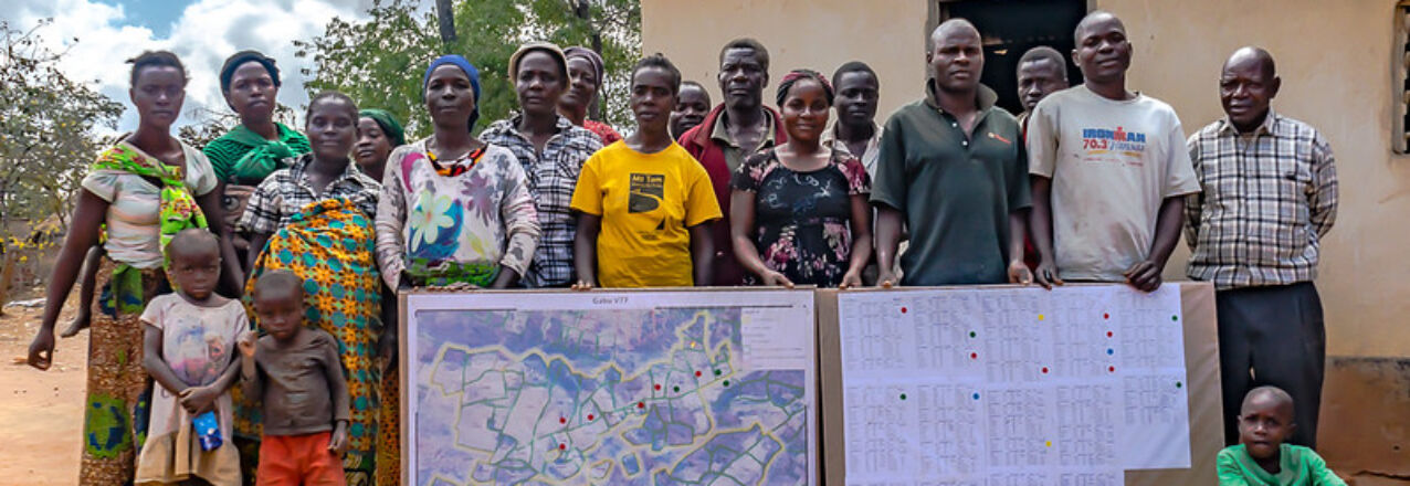
Developed and refined by USAID and development partners over the last decade, MAST is a blend of participatory mapping methods and flexible technologies that empowers local communities to document and secure their land and resource rights. It’s transparent and gender-responsive, and evidence from the past ten years of research and implementation shows that MAST allows communities to map and document their rights more quickly and for less money than traditional means. The approach supports a range of development objectives beyond LRG, including climate mitigation and biodiversity conservation.

Through participatory mapping methods, MAST emphasizes on-the-ground engagement and training, entrusting community members as data collectors and building local government and community capacity to maintain land information and manage resources in the long term. Using the approach, individuals can systematically collect and verify information necessary to strengthen tenure security and use that information for different purposes, such as to obtain land ownership documents, to enforce community land use plans, and to access technical expertise and funding for new agriculture investments and soil conservation measures.

Mapping Land for Conservation and Climate Change Mitigation

Since 2014, MAST has evolved from an initial pilot in rural Tanzania to a multi-country approach that USAID and implementing partners have used to map and document hundreds of thousands of land parcels. It helps that MAST is “fit-for-purpose”—meaning it’s adaptable to different combinations of spatial, legal, and institutional frameworks. The approach has been adapted and deployed in Mozambique, Zambia, Liberia, Malawi, and Ghana. 

In Tanzania especially, MAST was scaled up and adapted to support food security, women’s empowerment, conflict mitigation, among other development objectives. Local land offices and development organizations are now using the approach to improve outcomes for their programs, including biodiversity conservation and climate change mitigation. 

As part of USAID’s Landscape Conservation in Western Tanzania project, for example, the Jane Goodall Institute adapted MAST to document land rights and to enforce village land use plans, with the goal to conserve and improve chimpanzee habitats while empowering local communities for sustainable and participatory land and resource management. Roughly 90 percent of Tanzania’s 2,200 chimps live outside national parks and other protected areas. Their habitat is threatened by illegal logging, settlement expansion, and land conversion for agricultural or grazing purposes. In collaboration with local communities, the project is helping to develop village land use plans and document customary land rights using MAST. Through this work, MAST has provided a systematic approach to link land use planning with land documentation in an inclusive, transparent manner, with the goal to strengthen land rights and to reduce pressure on wildlife corridors and forest buffer zones. 

In southwest Tanzania, the Lawyers Environmental Action Team (LEAT), a local nonprofit, has adapted MAST for USAID’s Resilient Natural Resources Governance project. The work focuses on a biodiverse ecosystem threatened by competition between pastoralists, farmers, miners, and loggers. LEAT is helping to build local capacity to govern and conserve land, wildlife, forests, and water resources. The project is using MAST to develop sustainable land use plans, enforce these plans through customary land documentation, and to develop long-term village-level strategies for more sustainable resource management.

Elsewhere, in Zambia, USAID’s Integrated Land and Resource Governance program used MAST to map nearly 40,000 customary land parcels in over 900 villages, documenting customary land rights of over 163,000 people. Here, the MAST approach helped harmonize chiefdom and community boundaries, and implementers worked with government officials, traditional leaders, and civil society to customize MAST for local use. The project used MAST participatory methods to help develop chiefdom plans, to resolve land disputes, to empower women and youth as local leaders, and to help improve biodiversity conservation and wildlife planning.

We’ve Updated Our Learnings from a Decade of MAST

USAID and our partners have been using MAST for nearly a decade. In that time, we’ve honed the approach, learned lessons from implementation, and discovered a number of cross-sectoral use cases. To better reflect our growing body of work, we recently refreshed the MAST Learning Platform on the LRG Division’s LandLinks website. By combining in-country evidence and examples—from Tanzania, Zambia, and other countries—the learning platform clarifies the value of and opportunities to use MAST in pursuit of improved natural resource management, biodiversity conservation, climate change mitigation, and other non-land development objectives.

Earth Day reminds us that climate change is an existential global challenge. Effective land and resource governance is a powerful solution for addressing negative climate impacts. USAID’s MAST is a proven, adaptable, and efficient approach for not only strengthening inclusive land and resource rights but also for managing our natural resources and conserving biodiversity in pursuit of better protecting our planet.

¹MAST was previously known as “Mobile Applications to Secure Tenure.”

#LandMatters Newsletter February 2023

Dear Readers,

In this month of February, I am happy to share with you the USAID Land and Resource Governance (LRG) Division’s newsletter. In December 2022, we celebrated International Human Rights Day and last month we hosted an online panel webinar event to draw attention to the work of environmental defenders and the enormous threats that they face. According to Global Witness, an environmental defender has been killed every two days on average over the past decade, while many more are harassed, intimidated, criminalized and forced from their lands. In this newsletter, you can access an online recording of our event and read a special op-ed published by USAID Chief Climate Officer Gillian Caldwell. We have also included updates from our work supporting women’s land rights and other highlights. I hope that you enjoy reading about recent achievements in the LRG sector.

Sincerely,

Stephen Brooks
Division Lead, USAID Land and Resource Governance Division

Supporting Environmental Defenders

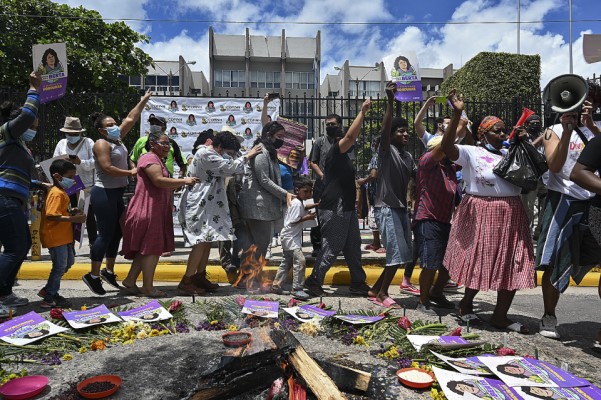
Members of the Civic Council of Popular and Indigenous Organizations of Honduras (COPINH) celebrate after David Castillo, president of Desarrollos Energeticos S.A (DESA), was found guilty in the murder of Honduran environmentalist and indigenous leader Berta Caceres, in Tegucigalpa on July 5, 2021. Orlando SIERRA / AFP

Online panel webinar: Standing with Environmental Defenders Under Threat
On January 19th, 2023, USAID hosted an online panel to discuss the threats facing environmental defenders as they fight against negative climate impacts and biodiversity loss and identified potential solutions to help mitigate these multiple challenges. This event was the kick-off of the year-long “Frontiers” event series, which explores the interface of conflict, climate change, and governance of land and natural resources. The series is hosted by USAID’s Center for Conflict and Violence Prevention and USAID’s Land and Resource Governance Division in partnership with New America.

Standing with Environmental Defenders Under Threat
This op-ed was published by USAID Chief Climate Officer Gillian Caldwell. Environmental defenders are on the frontlines of ecological and social justice. They can be members of local communities, conservation and forest monitors, environmental activists, human rights advocates, religious leaders, journalists, lawyers, or youth leaders. Given the critical and gravely dangerous work that environmental defenders undertake, USAID and other multilateral and donor organizations must do more to support them.

Strengthening Women’s Land Rights

Photo credit: Vaishnavi Suresh, Gap Inc. for USAID

Gender Equality and Climate Finance Technical Brief
Climate finance offers a pathway to achieve equitable climate action and support a transition to a low-carbon future. Yet, most climate finance to date has been gender-neutral, failing to capture the specific roles and needs of women, girls, and gender-diverse individuals in achieving climate goals. This brief explores how to overcome barriers to promoting gender-responsive climate finance, and provides recommendations for interventions.

Addressing Gender-Based Violence (GBV) Through Land and Property Rights
This document describes why USAID’s land and property rights programs should integrate programming to address gender-based violence (GBV) and details specific strategies for doing so. Program examples are provided to illustrate how the strategies can be incorporated into programs in crisis and conflict settings, and links to tools and resources are provided for additional information.
More blogs and related resources can be found on the Gender Equality and Women’s Empowerment page on Land-Links.org

New Research and Resources Available

Land Tenure and Resource Governance Capacity Assessment Framework
ILRG has developed a capacity assessment framework (CAF) focused on land tenure and resource governance. The CAF documents and measures the progress of capacity-building activities toward enabling improved land and resource governance capacity development outcomes.The framework and tool were designed primarily for use by USAID-funded projects, though it may be of interest to additional users such as other funders or implementers of land and resource governance-related activities.

Land Documentation for Financial Inclusion Brief
This brief documents and shares experiences expanding access to weather index insurance and microfinance in Zambia as part of a pilot program developed by ILRG. The program collaborated with financial service providers, insurance agencies, and agricultural input companies to deliver services to stakeholders with customary land certificates. The brief highlights the opportunities and challenges of expanding financial inclusion in underserved rural areas in Zambia.

New Green Energy Minerals Page
This new issue page on LandLinks provides a hub for background information and resources related to USAID’s work on the green energy transition. Our energy future depends on securing reliable global mineral supply chains, and key minerals used in green energy are mined around the world, including across 70 countries where USAID works. This page will continue to be developed as USAID’s work in this area expands.

USAID Land Project Highlights

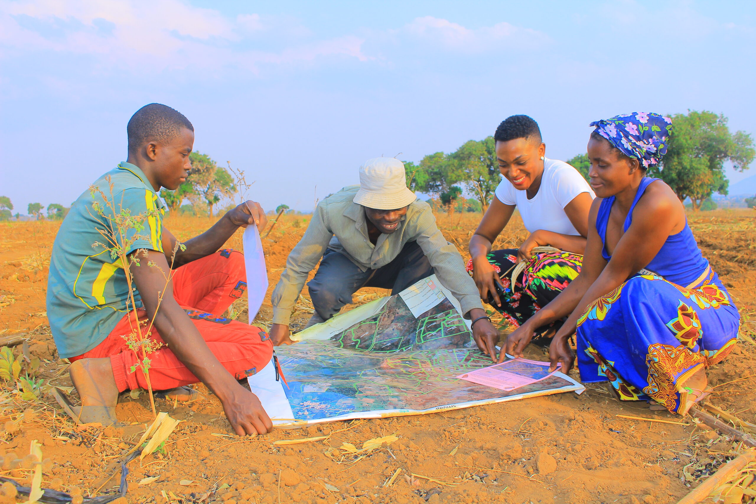
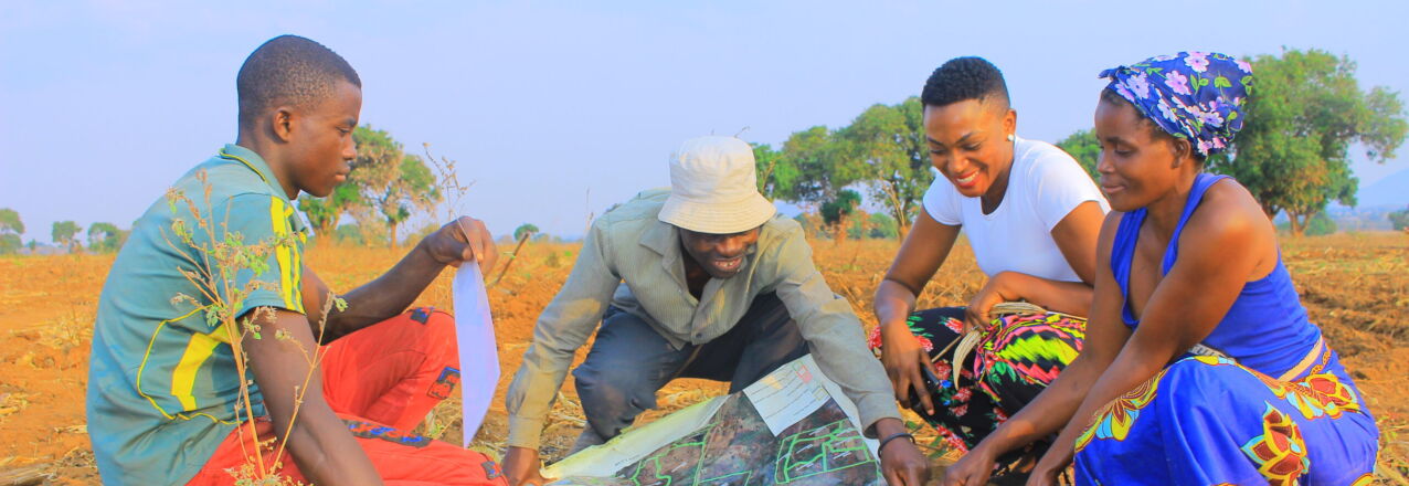
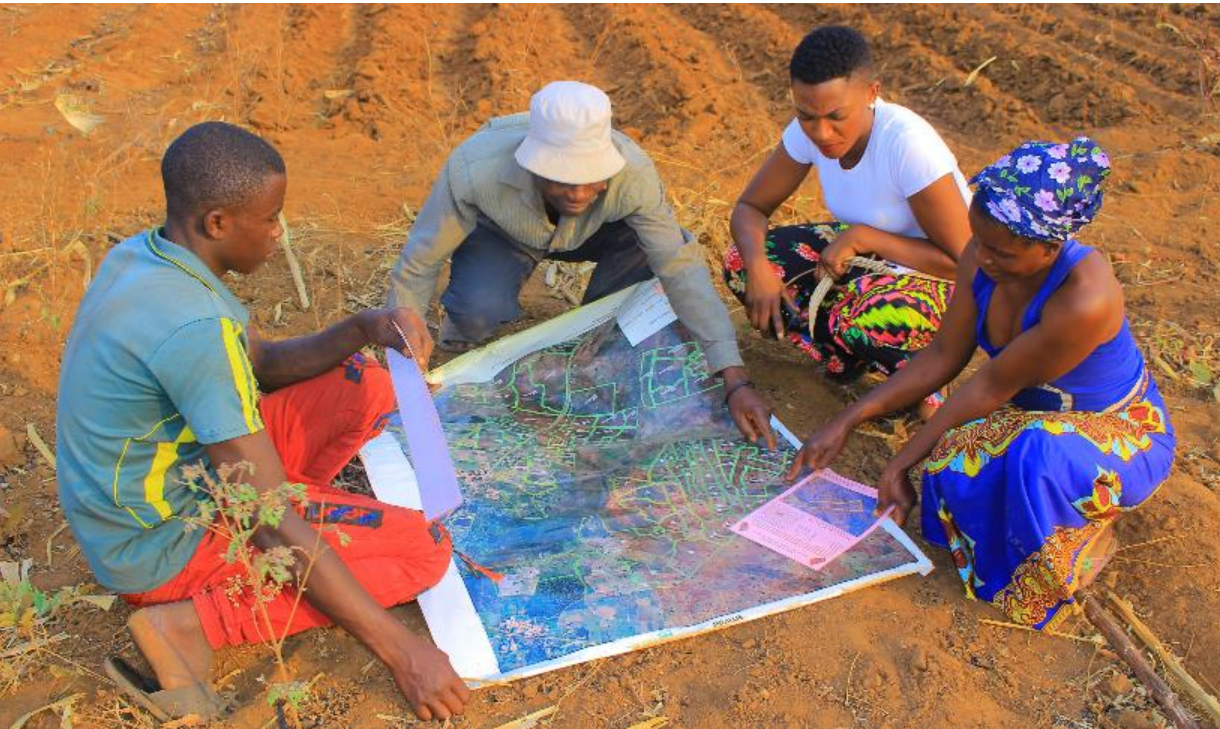
men and women look at land map

USAID’s Integrated Land and Resource Governance program is a flexible field support mechanism that works with USAID Missions to provide both short- and long-term assistance. Read their most recent publications:

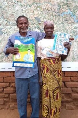
Quote from the field: “Marriage and family are a sacred thing, we both had to come together to see for ourselves the outcome of what we had registered. My wife and I love each other and I always want her to be part of and knowledgeable about everything happening around the family including all the land we own.” – Shadreck Kasamba, 65, and his wife Lozaria Zakeyo, 62, jointly registered their two parcels under a customary land documentation pilot in Malawi supported by the Government of Malawi and USAID. Shadreck and Lozaria came to check their parcel information together during the public display period, when community members can review parcel maps and make any corrections before land certificates are issued.

082e28eb-be07-40ab-7357-11fce5295b57

USAID’s Integrated Natural Resource Management activity provides on-demand support services and technical assistance for USAID Missions, Bureaus, and Independent Offices across a wide array of environmental and natural resource management issues, with a focus on gender equality and social inclusion.

Recent publications include:

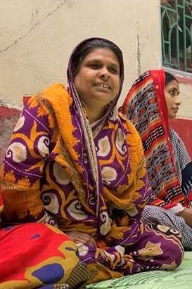
Quote from the field: “I never knew anything about land documentation, but my family has had an issue with our land. After I attended the land literacy training, we discussed it, and I showed my family how we could solve the issue. I then sent my son to the land office in the nearby town with the proper documents. Our issue is now resolved, which is a big relief.” – Salema Begam attended land literacy training under a USAID-PepsiCo partnership to empower women in PepsiCo’s potato supply chain in West Bengal, India. The training helps educate women on land laws and walks them through the process to update their land records.

USAID/Colombia’s Land for Prosperity Activity supports the Government of Colombia in improving the conditions of rural households to achieve licit economic development through land tenure strengthening.
Read more in some of their recent blog posts:

Quote from the field: “I’ve never had an opportunity to participate in an activity like this before because I’m a visually impaired person. When I heard that they were sensitizing leaders and community members about the involvement of people with disabilities I felt alive, because in our society we are not valued. Today I say yes, I am useful in the community.” – Hortêncio Jorge, a 21 year old young man from Alto Molocué, Mozambique, who recently participated in a training on how to manage an eucalyptus forest plantation. The plantation was transferred to the community as part of a land divestment initiative by company Green Resources with USAID support.

a2281505-a974-c91f-c826-d7e3f87eaf5b

#LandMatters Newsletter November 2022

Dear Readers,

I am excited to share the USAID Land and Resource Governance (LRG) Division’s November 2022 newsletter, which showcases recent highlights from LRG programming across USAID. Last month we commemorated the International Day of Rural Women 2022 with a blog post about how our programming through the Integrated Land and Resource Governance (ILRG) program is strengthening women’s land rights in six countries. We also featured a blog about promoting gender-responsive land documentation in Malawi, and are pleased to highlight  a new toolkit that we developed to assist programming focused on reducing land-related conflict. These are just some examples of the many highlights featured below– thank you for your interest in our work!

Sincerely,

Stephen Brooks
Division Lead, USAID Land and Resource Governance Division

New Resources Available

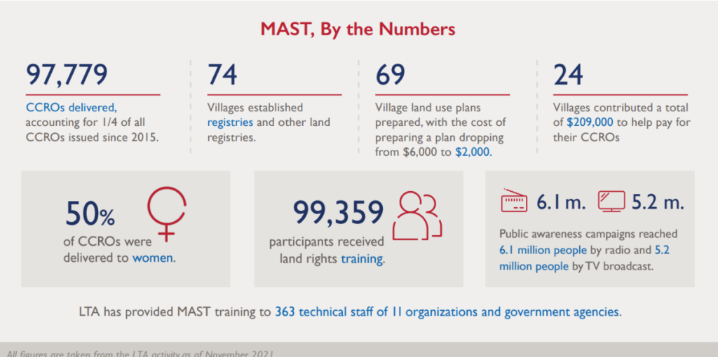
In Tanzania, USAID implemented Mobile Applications to Secure Tenure (MAST), the collaborative, participatory approach that builds sustainable local capacity to efficiently map resource rights and secure land tenure, in rural areas to lower the cost and time associated with mapping and registering customary land. Through the Land Tenure Assistance (LTA) Activity, USAID helped deliver nearly 100,000 customary land documents across Tanzania between 2016 and 2021. This infographic highlights the cross-sectoral achievements of MAST in Tanzania, including reduced concerns about future land boundary disputes and land expropriation. In addition to Tanzania, MAST has been used with great success in a number of countries, including Burkina Faso and Zambia. To learn more about MAST and its many applications to address persistent development issues, please visit:  Land-links.org.

Land & Conflict: A Toolkit for Intervention 2.0. This new second installment of the Land & Conflict Toolkit is designed to introduce readers to the complex relationship between land and violent conflict, including a focus on key issues around gender equality and social inclusion, and to provide guidance on recommended approaches and actions to address some of the root causes of conflict. This understanding can help staff diagnose a problem, support strategic planning, and develop projects and activities that build on a robust appraisal of local context and conditions.

Conducting Randomized Controlled Trials (RCTs) to Evaluate the Impact of Land & Resource Governance Sector Interventions – Strengths, Practical Challenges, and Best Practice Guidance
Among the different types of evaluation and learning approaches, randomized controlled trials (RCTs) are often seen as an especially useful impact evaluation tool for evidence-based learning. However, RCTs to assess the impacts of land and resource governance interventions, and of land sector programming in general, have been very uncommon. This report seeks to help demystify RCTs for land sector programming, discuss some of the challenges and potential solutions for implementing LRG RCTs, and ultimately serve as a resource document that can help USAID to make informed decisions about whether, when, why, and how to engage in supporting an RCT of a land sector intervention.

Research Brief: Leveraging Formal Land Rights for Credit Access This brief sheds light on an enduring development question—if formalization of rural land rights does not significantly unlock formal credit through collateralizing land, particularly in Sub-Saharan Africa as theorized, are there alternative mechanisms by which formalization can improve credit access? After reviewing evidence for the collateral pathway, the brief summarizes emerging evidence on three alternative pathways and outlines evidence gaps to close and steps tenure programs can take to create an enabling environment for the pathways to function.

USAID Land Project Highlights

USAID’s Integrated Land and Resource Governance program is a flexible field support mechanism that works with USAID Missions to provide both short- and long-term assistance. Read their most recent publications:

Quote from the field: “As a member of the Customary Land Committee, I felt happy when I helped a woman register land with her husband. She was upset for not being included in the certificate, but after my explanation of the benefits of joint registration, the husband added her. I saw that I can make a difference in my community.” – Tamara Chidambo was elected a CLC members in Malanda village, Malawi, where USAID is working with the Government of Malawi to register customary land.

USAID/Colombia’s Land for Prosperity Activity supports the Government of Colombia in improving the conditions of rural households to achieve licit economic development through land tenure strengthening.
Read more in some of their recent blog posts:

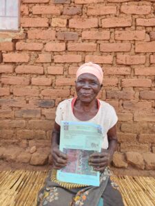
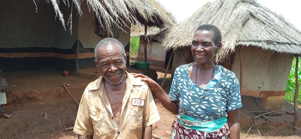
Quote from the field: “This is my land. I got the land certificate for the sake of my children. Tomorrow when I am not here, nobody will take it from them.” – Vainess Ngoma, 87 years old, from Muluso village, Zambia, registered two parcels of 1.4 and 1.8 hectares with USAID support.

USAID’s Integrated Natural Resource Management activity provides on-demand support services and technical assistance for USAID Missions, Bureaus, and Independent Offices across a wide array of environmental and natural resource management issues, with a focus on gender equality and social inclusion.

Recent publications include:

Three Key Takeaways on Gender and Mining in Colombia

By Smita Malpani, Rhiannon Gulick, Anthony Flowe, INRM

In Colombia, most artisanal miners who mine for gold in the informal sector are women. They work both as machadoras, who sift through mine tailings for gold, and barequas, who pan for gold in rivers. These types of artisanal mining are the least lucrative and most dangerous in Colombia. 

The USAID-funded Mining Horizon project builds on previous USAID-supported work to strengthen governance in the mining sector and mitigate negative environmental impacts from gold mining. Because most miners in the informal sector are women, the project included and prioritized various gender activities that aimed to create a safe, equitable, and profitable future for women miners in Colombia.

Mining Horizon’s work on gender and mining has yielded important insights on gender and ASM gold mining in Colombia.

Women’s burden of work and lack of childcare have implications for formalization

To make up for limited income from artisanal mining, women often engage in multiple livelihood strategies, such as food preparation or other services near mining sites. They work double shifts to mine and then to do household and domestic work to care for their families. Men, due to social norms, do not have the same level of household and care duties. These multiple livelihood strategies add to women’s heavy burden of work.

Relatedly, Mining Horizon has found that a lack of child care limits women’s ability to become miners in the formal sector.  Informal women miners who juggle work and care responsibilities often bring their children to mining sites and  keep them in a makeshift enclosure to watch as they work However, government regulations for formal mining prohibit children from being at mining sites. Without child care, most women artisanal miners know they would not be able to comply with formal regulations for mining and do not see it as a viable option.

Mining Horizon’s experience shows that women’s care responsibilities and multiple livelihood strategies limit their ability to access higher and more stable income through formalization. Formalization, though it likely leads to higher and more stable income for miners, is a complicated and time-consuming process. Since women’s domestic responsibilities and heavy burdens of work constrain their time more than men, women may be less likely than men to attempt to achieve formalization. 

To help address this challenge, future mining activities can explore multi-sectoral approaches including child care, women’s community-building efforts, and financial inclusion strategies such as village savings and loan associations (VSLAs). Future programs may also consider how to address women’s burden of work and the implications of that burden for formalization.

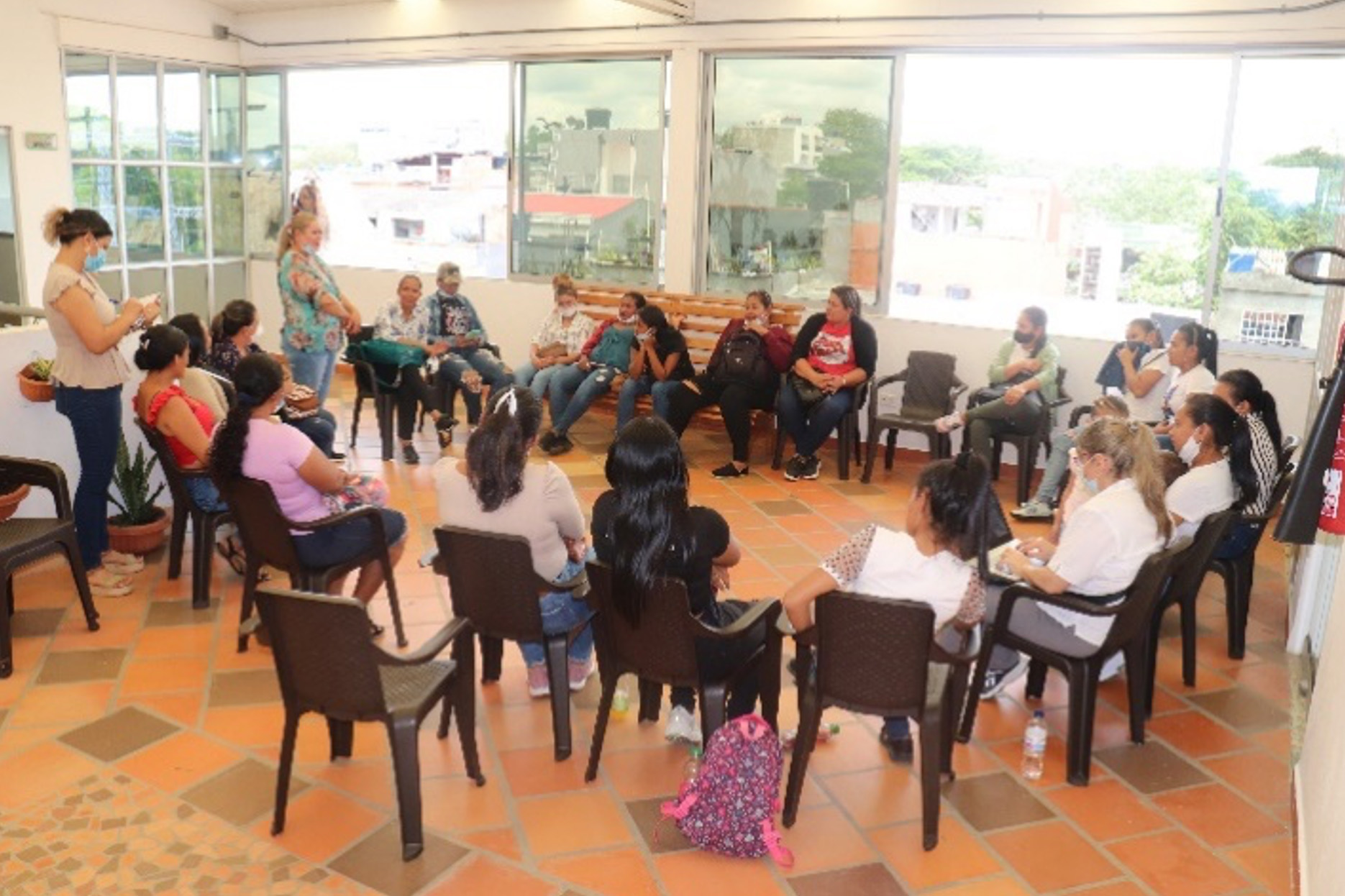
Antioquia women miners formalization session, photo by CORCRESER
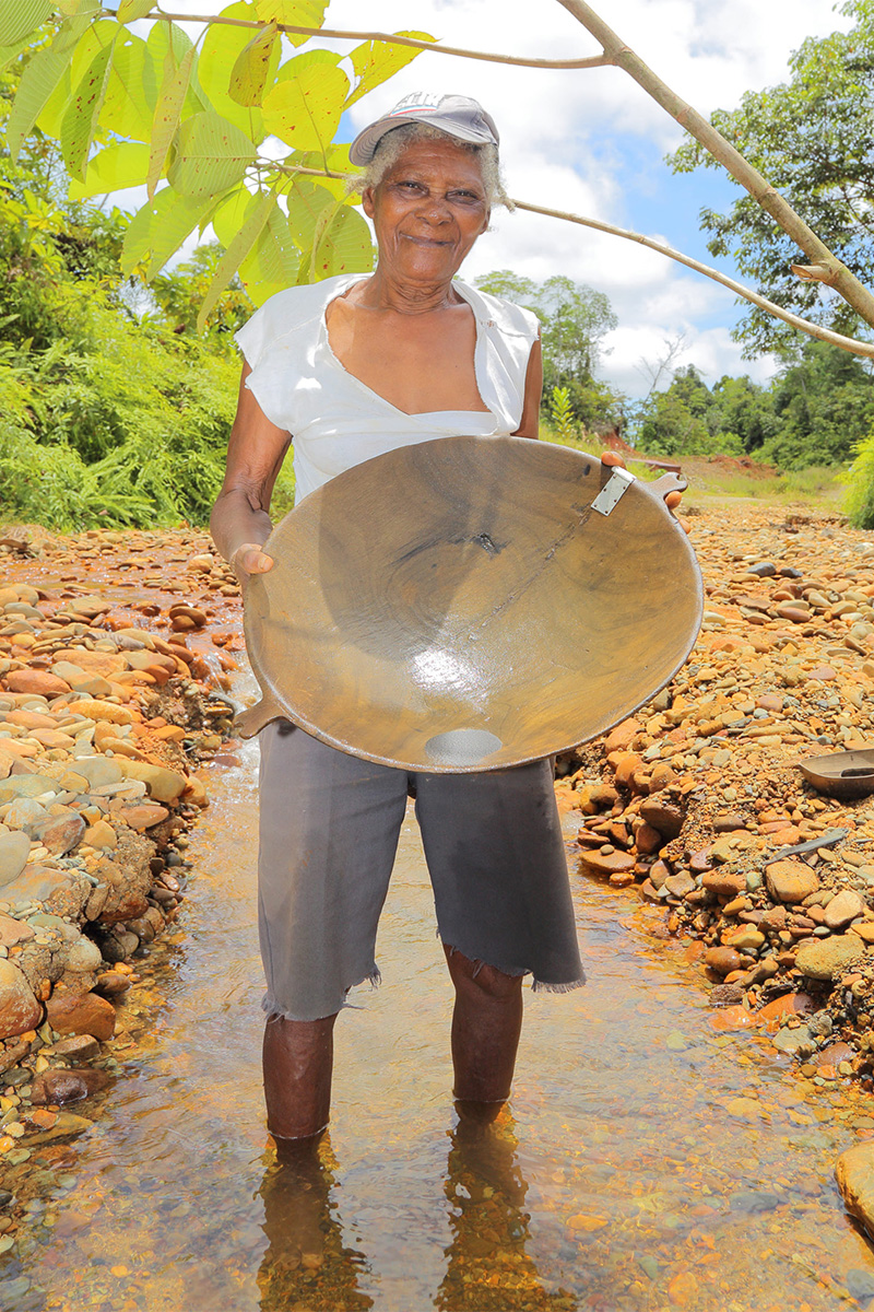
Woman gold miner standing in a stream holding a round, wooden panning bowl used for panning gold.
Artisanal gold miner in Colombia, photo by CORCRESER

Persistent myths limit women’s access to mines, and the options left to them pose distinct health and safety challenges

In Chocó, Mining Horizon’s experience confirmed what has been reported in other parts of Colombia. Women are unable to gain access to mines because of persistent myths about gold veins and deposits disappearing if a menstruating woman enters a mine. Consequently, women are relegated to the outskirts of mines and left to sift through mine tailings and waste to search for gold. For access to mine tailings, women must negotiate with male mine owners, and they often face discrimination from the owners, who may set aside higher yielding tailings for men.

Mining Horizon found that women’s participation varied between artisanal and small-scale mining, posing distinct gendered challenges. For example, women make up most of artisanal miners, working as both machadoras and barequas. Although both machadoras and barequas face gender related challenges, those challenges are specific to the type of mining.

Machadoras must negotiate with male mine owners for access to tailings and might not have access to the most fruitful material. Women are less likely than men to be able to enter and work in mines due to social norms and persistent myths discussed above.

Barequas work in dangerous conditions, sometimes hip-deep in water while vulnerable to infectious disease, snakes, or other hazards. Barequas may also face specific health impacts from working in the water. For example, they may lack adequate menstrual hygiene options, and have reported vaginal infections and other negative health impacts incurred as a result of mining. 

Future ASM programs may consider opportunities to document harmful myths about menstruation and mining to help dispel these myths. Furthermore, refining gender-disaggregated data collection to capture intersectional identities can also help tease out the challenges faced by specific populations. 

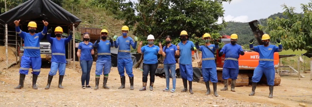
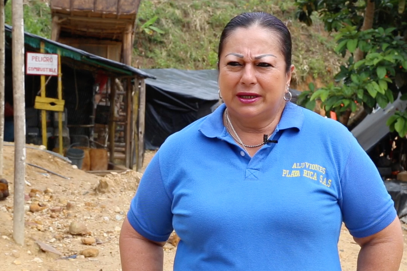
Woman gold miner in blue uniform standing in front of mining equipment in a mining area on a rocky shore in a rainforest in Antioquía, Colombia.
Minera en Antioquía, photo by CORCRESER

Movement-building works to empower women

Although Mining Horizon did not work in areas where women’s mining associations had been formed, the project did work at the national level with women’s mining associations from other areas of Colombia. These associations, supported by the MIT-D Lab under the USAID Resilient, Inclusive and Sustainable Environments (RISE) Challenge, have empowered women to advocate for recognition and collectively address a range of issues from gender-based violence to environmental degradation. 

To continue this momentum, future programming can build on USAID’s work supporting women’s associations. The upscaling of women’s mining associations and their federation nationally may help to amplify women’s efforts and empower them to advocate collectively.

Artisanal and small-scale mining in Colombia

Most mining in Colombia is artisanal and small-scale mining (ASM). ASM is informal mining conducted by individuals, groups, families, or cooperatives who use rudimentary processes to extract minerals or gems, often with no or very little mechanization — and it is an important part of livelihood strategies for the poor in some rural areas. Because ASM miners are concentrated in the unregulated, informal sector, lack of access to credit and appropriate technologies underlie mining practices that are detrimental to miners, local communities, and the environment.  ASM techniques for gold are especially concerning because they often rely on mercury to extract ore from mine tailings and sediments. Mercury has documented negative health and environmental impacts.

Where Rural Transformation Begins with Land Titles

With USAID support, the Colombian government has begun delivering land titles as part of a far-reaching project to transform the territory

When María Eugenia Ruiz stepped up to receive the title to her property and home, she had the chance to tell the audience about the hardships she has endured with owning land in an informal land market.

“To be honest, I have just a little house made of boards,” said Ruiz, 55. “But some time ago, a lady sent me to say, ‘Maria, don’t do anything with this house, you don’t live there, because that house is mine.'”

With relief, she said she could finally say goodbye to the permanent anguish she felt about losing the land her mother had left her and where she has lived for more than twenty years.

As she told the story of the fear and anguish she suffered, her face darkened, and without a hint of shyness she continued.

María Eugenia Ruiz, small woman with a strong voice.

“I told her, this little house, this ranchito, is mine. It was left to me by my mother, I live here by myself, and God gives me the blessing.”

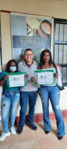
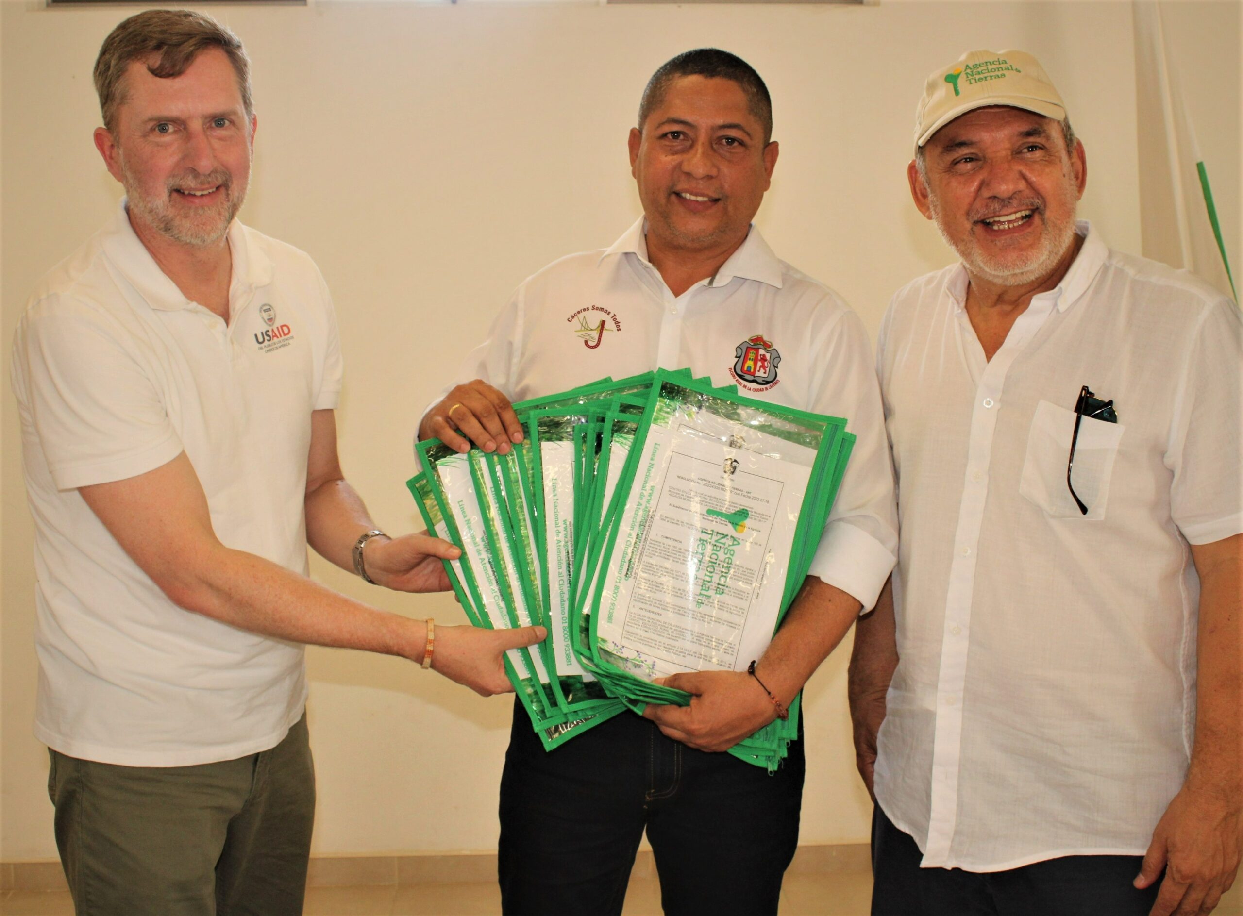
Maria certainly had reasons to be distressed. Neither she nor her mother ever obtained a deed or registered land title for the property. This year, Ruíz and 45 other families finally put their worries to rest after receiving a registered land title from the government. In February, the National Land Agency (ANT) delivered the first property titles stemming from a series of 11 USAID-supported parcel sweeps across Colombia.

In addition to the delivery of the initial 46 properties deeds, the Mayor’s Office of Cáceres received 22 property titles for schools, an important step to enable the regional government to funnel public funds to improve education services that have long been neglected. In Cáceres, an estimated seven of every ten properties lack a registered land title.

The land titles represent the first of an estimated 11,000 parcels that are being formalized under the property sweeps, a massive initiative to strengthen land tenure in Colombia by updating the rural cadaster and delivering registered property titles to their rightful owners, free of charge.

Cáceres, Antioquia has a population of 29,000 and is the largest municipality in the Bajo Cauca sub-region. Right: a typical ranchito in rural Cáceres.

“We are happy with these property titles for our schools and for these 46 families. We are betting that the parcel sweep and improved land administration will generate well-being and equity for our people.”

-Juan Carlos Rodríguez, Mayor of Cáceres

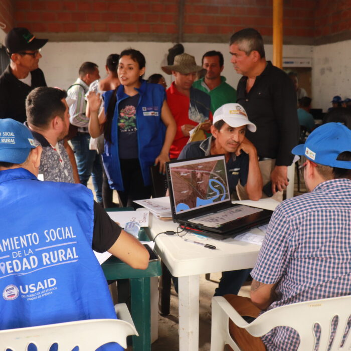
The parcel sweep method was designed by USAID with input from Colombia’s land administration authorities such as the National Land Agency (ANT), among others. Historically, the burden of formalizing a property in rural Colombia has always been on the landowner, costing enough money and time to marginalize poor landowners. Now, government-led property sweeps involve the participation of a Municipal Land Office and social leaders who help communities resolve land conflicts.

The massive formalization of land through parcel sweeps arose from the need to comply with the first point of the 2016 Peace Accords, which seek to formalize land for rural citizens and invest in the transformation of 170 prioritized municipalities identified for being the most affected by the armed conflict.

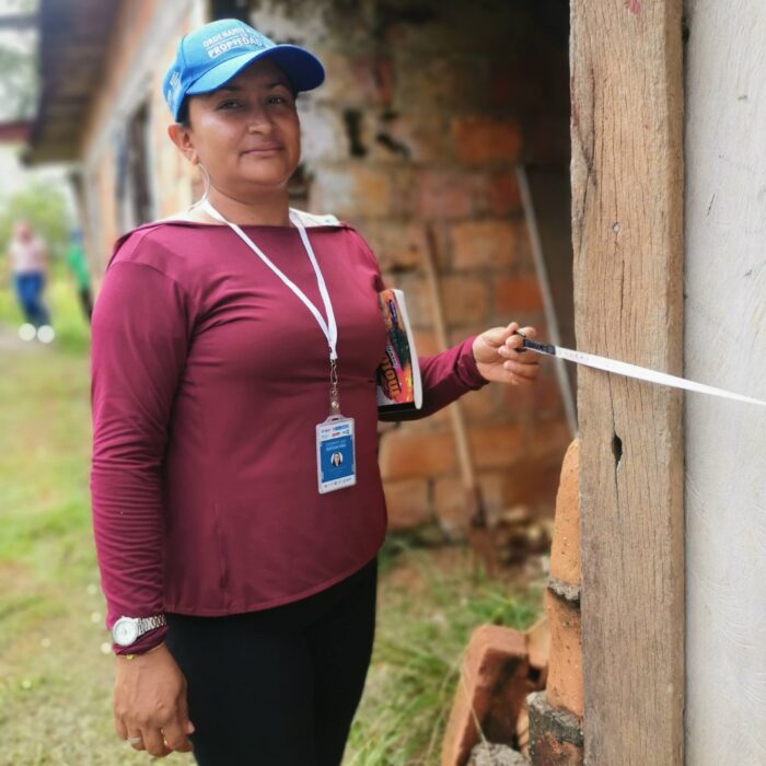
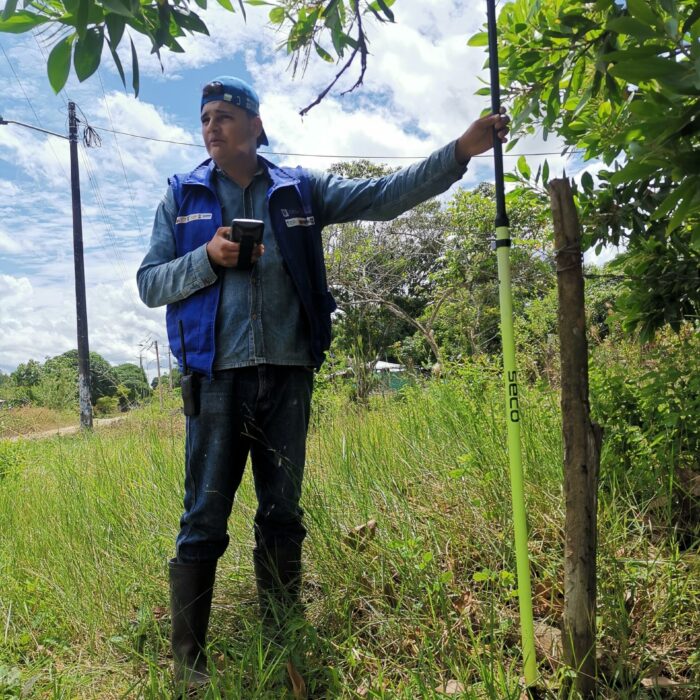
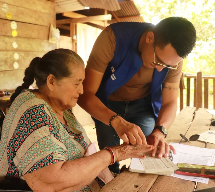
Scenes from USAID-supported parcel sweeps around Colombia.

In order to create a functioning land market, USAID is strengthening the government’s capacity to maintain formality in future land transactions and raising awareness among communities to nurture a culture of formal land ownership. The initiative requires the participation of the government, civil society, and international development.

Transforming Lives

“Titling means transforming and transforming means improving the quality of life. A land title gives families certainty that this is their property. It gives them the possibility to go to a financial institution. It makes it possible for them to carry out an agricultural project on titled land.”

-Gerardo Vega, Director of the National Land Agency

3T: Titles, Transition, Transformation

Due to the massive formalization campaign, Cáceres has become the epicenter of the implementation of an innovative strategy known as the 3T Strategy, which seeks to substitute illicit crops like coca by giving landowners titles to their lands. The strategy, supported by Colombia’s Ministry of Justice in partnership with USAID, also provides families with a food assistance plan, and makes investments in agricultural and small infrastructure projects that help catalyze the transformation of rural communities.

“We cannot only think about titling, we have to go further by supporting these families with viable projects in strategic value chains and with other small infrastructure investments,” said Rodríguez, the mayor of Cáceres. “Cáceres which is a municipality that has suffered from violence and illicit crops, and we want people to feel accompanied by all our government has to offer and more.”

Nationally, USAID is supporting 11 land titling campaigns, six that are already under implementation and five more that are expected to start up in 2023. Each depends on a variety of factors, and it is expected that by 2025, the government will have updated more than 115,000 parcels of the national cadaster, with the potential to deliver up to 40,000 land titles.

“We are working not necessarily from a security approach, but from a human rights approach. And human rights mean dignifying life and delivering property titles, as we are doing here in Cáceres.”

-Gloria Miranda, Director of Drug Policy Colombia’s Ministry of Justice.

Transforming Fear Into Hope: Secure Land Rights as a Pathway for Rural Women’s Economic Security

“What will happen to my children and me if my husband and I get divorced?”

“If my husband dies, will I be allowed to stay in this land, or be chased by his relatives?”

“I am scared to tend to my crops at night, but what if security guards of the company who owns the land catch us? We have nowhere else to go.”

These fears about what tomorrow will bring are shared by rural women across the world. Women often live with land tenure insecurity, unsure about their long-term ability to access and control the land they depend upon to feed their families. Data from 140 countries show that one in five women worry it is likely or very likely they will have to leave their land against their will within the next five years.

Recognizing that secure land tenure is at the heart of rural women’s social and economic security, the United States Agency for International Development (USAID) is implementing innovative and comprehensive approaches to increase women’s ability to use land without fear. To reach remote rural areas on a large scale, USAID has pioneered Mapping Approaches to Secure Tenure (MAST), using participatory methods and mobile technology to efficiently, transparently, and affordably document land rights. MAST approaches have been used around the world, including to document over 100,000 land parcels in Tanzania and 40,000 in Zambia.

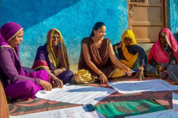
However, documentation isn’t enough. Women’s land security is much more complex than simply formalizing ownership on paper. As land management in many countries is still concentrated in the hands of men or customary kinship structures, most rural women access land through male relatives, leaving them economically dependent and vulnerable to gender-based violence. Even when women are able to own land, decision-making about its use and related income is usually controlled by men. USAID is partnering with communities, governments, civil society, traditional authorities, and the private sector to address the legal, institutional, and socio-cultural barriers that constrain women’s rights to own, inherit, use, and control land.

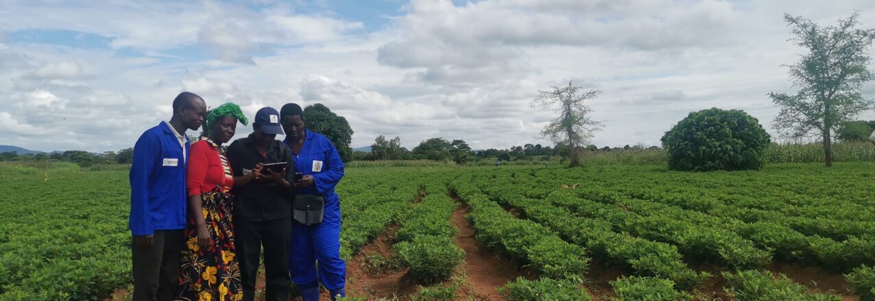
In Malawi, USAID worked with the government on a gender-responsive systematic land documentation project that included gender-balanced teams of enumerators, support for women elected to customary land committees, and household gender norms dialogues. These efforts were complemented by robust sensitization about women’s land rights through radio, comic booklets, and community gender champions going door-to-door. Lefas Dyson Moses initially registered a land parcel in his and his children’s names only. He left his wife of 50 years, Doris Joseph, out because he believed she had no claim to the land, having moved to his village upon marriage, a common view across Malawi. He changed his mind after speaking with the community gender champions and asked for the land certificate to be altered to include her. “I realized that I had made a grave mistake by not adding my wife as a landholder. She would easily be chased away from the land by my relatives in my absence, rendering her landless,” he reflected. Out of over 9,000 parcels registered so far, women are named in 67 percent of certificates, an impressive improvement from a previous pilot in the same area where women were named in only 38 percent of certificates.

After talking with community gender champions, Lefas Dyson Moses decided to add his wife, Doris Joseph, to his land certificate in TA Mwansambo, Malawi. Photo Credit: Charles Kayenda/ILRG

As part of the effort to shift harmful gender norms hindering women’s land rights, USAID has worked with traditional leaders in Malawi and Zambia, given their central role administering customary land and acting as custodians of culture. USAID provided a space for local traditional leaders to reflect on harmful gender norms and identify how they can act as champions for change. Traditional leaders are now sensitizing community members about women’s rights to land, drafting by-laws banning widows being chased away from communities, and appointing women as village leaders. They are also leading by example, allocating land to women in their communities and registering their own land with their wives. According to Headman Kapachika from Zambia, “We are equal, so we should have equal rights to land. By giving land to women, we empower them, and they can support themselves now and in the future.”

USAID also partners with the private sector to implement innovative approaches to solve land conflicts between companies and rural communities and strengthen women’s land security. In Mozambique, thousands of smallholder farmers encroached upon land belonging to the agroforestry company Grupo Madal. Jubeda Mariano Mucufu, 35, remembers how the farmers used to work on the land at night, hidden, knowing that the land belonged to somebody else. Rather than evicting these farmers, Madal provided 1,300 people, 85 percent of them women, with long term land use rights. The women can now use the land for subsistence farming, as well as producing commercial crops for Madal. With the new income from participating in agricultural value chains for the first time, Jubeda is paying for school materials for her two children. “We really like the approach Madal is using, now we have peace of mind to work on our plot at any time of the day” she said.

After receiving land use rights, Jubeda Mariano Mucufu, 35, and her husband Orlando Joao Abuque, 45, are producing coconuts for agroforestry company Grupo Madal in Zambezia, Mozambique. Photo credit: Thais Bessa/ILRG.

Secure land rights and shifts in harmful gender norms are transforming fear into hope. When women can register land in their names, use land freely, and decide how land and income are used, they gain confidence and improved status in their households and communities. This in turn reduces conflict, opens pathways for economic security, and equips rural communities to better adapt to the effects of climate change.

Vainess Ngoma, 88, registered two parcels of land with support from USAID in Muluso, Zambia. Photo credit: Thais Bessa/ILRG.

“This is my land. Tomorrow when I am not here, nobody will take it from my children,” Vainess Ngoma, an 88-year woman from Muluso, Zambia, who registered two parcels of land with support from USAID.

Titling Land in a Complicated Region

TEORAMA, Norte de Santander, Colombia – A few days after the government delivered 118 property titles to property owners in Teorama, a town located in the heart of Colombia’s Catatumbo region, violence and forced displacement once again knocked on the doors of the municipality.

Under threat, 79 families, or more than 250 people, made the difficult decision to leave their homes, crops, and animals, to seek refuge in the community center of San Pablo, a nearby town, according to a report by the United Nations Office for the Coordination of Humanitarian Affairs (OCHA). Despite a military base nearby, the families feared they would be the next victims of harassment by the armed groups that stalk the area and traffic in drugs, charcoal, and fuel.

“We are sending an urgent S.O.S call to the government and our president Gustavo Petro, to establish a dialogue agenda that can cease these confrontations,” the mayor of Teorama, Robinson Salazar, was heard on a local radio station.

Local Land Administration

The land titles correspond to urban properties in the town of San Pablo and were facilitated by Teorama’s Municipal Land Office, which is supported by the USAID-funded Land for Prosperity program. USAID is helping the Colombian government to improve land administration and rural development in priority areas identified under the 2016 Peace Accords.

As a partner, USAID is investing in the capacity of Colombia’s land agencies to strengthen a formal land market and provide legal certainty over property ownership in rural areas where informal land ownership has flourished for generations.

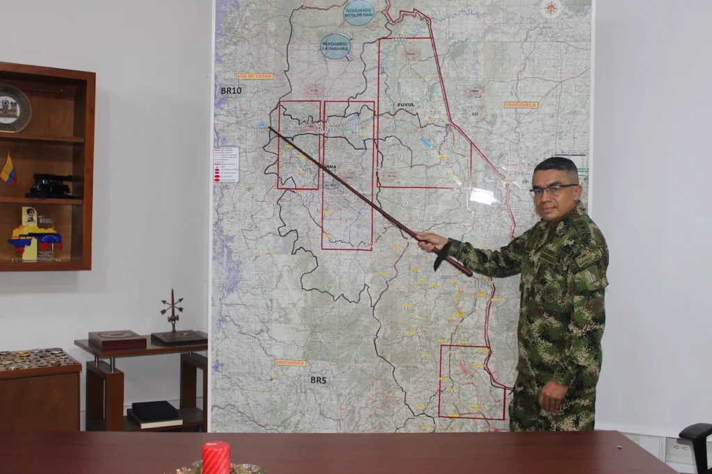
“Catatumbo is a historically conflictive region marked by the lack of presence of the state and its institutions, which has left the responsibility to the security forces, and that has allowed all these factors of violence to grow,” says Brigadier General Ricardo Heriberto Roque, commander of the Specific Command of Norte de Santander.

This abandonment is apparent in the lack of access to villages like San Pablo. Poor roads are the tip of the iceberg but set the stage for the provision of health and education services, which are in a dismal state. Traveling to San Pablo involves other risks, such as a series of checkpoints, where people allegedly associated with criminal groups like the National Liberation Army (ELN) demand small, yet illegal payments.

Due to the presence of criminal groups, illicit crops are common and the theft of hydrocarbons is on the rise. Catatumbo’s location on the border with Venezuela makes it fertile ground for other crimes like extortion, kidnapping, and other forms of terrorism. The groups operate side by side, but not always in unison.

“This has produced a calm, but it is a tense calm that, at any moment, as in any business, can generate a type of friction or disagreement,” says General Roque.

Based on the coordination, the authorities are aware of USAID’s movements, the people traveling, and the type of work being done. Each trip requires a security study that involves a detailed examination of the conditions in the area, the determination of the safest times to travel, and a security protocol for each visit.

“We want to contribute to generating incentives so that in Catatumbo, their properties are legally owned. It is a complex scenario but not impossible to improve the quality of life of the people, focused on a legal economy and the improvement of the land, so that they have legal products, which can impact the entire community.”

Colonel John Robert Chavarro

Police Commander of Norte de Santander

Crucial Relationships

The mitigation of these security challenges associated with working in rural areas on controversial topics like land ownership is made possible through permanent coordination and communication with the communities and the Armed Forces.

In addition to the military, the USAID program coordinates with municipal council members, neighborhood leaders, school teachers, and social leaders to facilitate the formalization of public and private land parcels. Since 2019, the government has titled 450 properties in Catatumbo with USAID’s support, some 20 percent of which correspond to parcels in Teorama.

The program also works with students, youth groups, and local media such as Irradiarte Producciones, a youth-led digital channel with a strong presence on social networks. Irradiarte is one of few media channels based in Sardinata and focused on issues in Catatumbo.Through its partnership with USAID, Irradiarte promotes land titling to reinforce a culture of formal land ownership among citizens.

“We accompany the Land for Prosperity program to visit communities to inform and explain the functions of the Municipal Land Office and promote achievements like the delivery of the land titles,” says Christian Orozco, a 29-year-old community journalist.

“We are trying to generate trust with the community.”

“These youth leaders are working passionately for their communities and without their knowledge and astuteness, it would not be possible for land surveyors to enter these villages or transit on these roads full of uncertainty,” says Luz Amparo Fuentes, Land for Prosperity Catatumbo regional coordinator.

This story was originally published on Exposure.

Urban Planning and Development Begins in the Municipal Land Office

The USAID-supported Municipal Land Office in Santander de Quilichao plays a significant role in planning and mobilizing funds for urban development.

At rush hour, dense traffic permeates downtown Santander de Quilichao and slows to a trickle. Cars, buses, and delivery trucks ply the few single-lane streets on a journey to the main arteries of Northern Cauca that connect the highway Panamericana to major cities like Cali and Popayan. For decades, municipal leaders have discussed ways to alleviate the city’s traffic issues by building new roads, improving urban planning, and gathering community input.

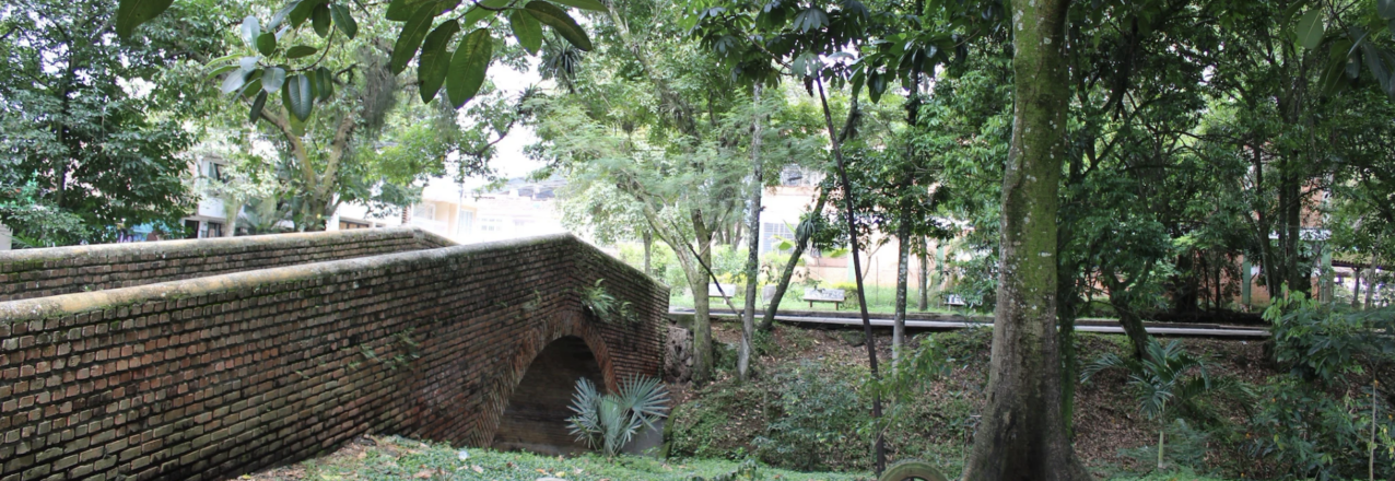
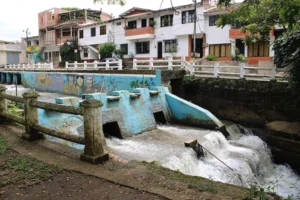
This year, traffic patterns in Santander de Quilichao are finally shifting. Drivers coming from nearby municipalities of Caloto, Toribio, and Guachene now have the opportunity to bypass the city’s center through the neighborhood of Niza, which lies north of downtown. The bypass measures less than a kilometer but includes a bridge over the Quilichao River, saving time for drivers, keeping heavy trucks out of the city’s center, and improving urban development for the community in Niza.
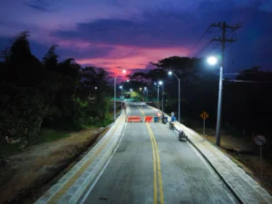
The idea of a road and bridge across the Quilichao has been on the minds of city planners for at least twenty years but was never realized until a team of land experts from the Municipal Land Office took over the process of acquiring the land on both sides of the river.

“The owners on one side of the river were never interested in ceding the land to the city, but when the Municipal Land Office reached out to the property owners to work together, we made them see that this road would increase property values in the neighborhood and the city’s efficiency,” explains Bernardo Pinzón, a social worker in the Santander de Quilichao’s land office.

With the properties lined up, Mayor Lucy Amparo Guzmán, the mayor of Santander de Quilichao, led the campaign to mobilize the 3,400 million pesos required to complete the roads project. City leaders and neighbors gathered in October 2022 to inaugurate the road and bridge, which includes an access ramp, LED streetlights, and sidewalks with wheelchair access.

The success story is the latest example of how land tenure issues lie behind every type of investment in essential public services and infrastructure in Colombia’s rural municipalities. In Santander de Quilichao, land informality rates are above 50 percent, meaning half of all parcels do not have registered land titles. In hundreds of other municipalities, it is much worse, reaching as high as 80 percent.
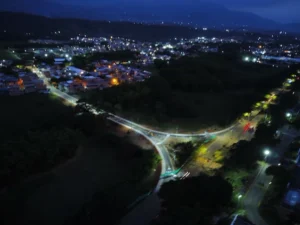
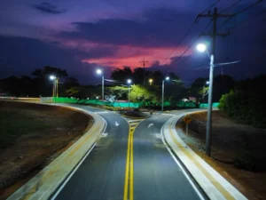
With the properties lined up, Mayor Lucy Amparo Guzmán, the mayor of Santander de Quilichao, led the campaign to mobilize the 3,400 million pesos required to complete the roads project.
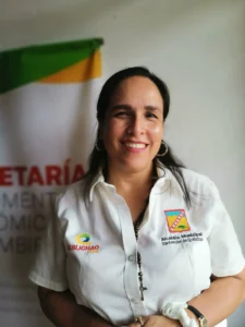
“Legalizing a property gives a project viability and gives the Municipality a chance to mobilize resources. That’s why the Municipal Land Office generates development and urban planning, not only in the short term but in the medium and long term as well. As mayor, I must plan for the next mayor, and the Municipal Land Office helps me in this role.”
-Lucy Amparo Guzman, Mayor of Santander de Quililchao

Titling Urban Properties

With USAID support, Santander de Quilichao’s Municipal Land Office was created in early 2017 as a one-stop shop for local land administration to facilitate rural development initiatives and help rural landowner access property services and information.

In its first iteration, the local land office titled hundreds of urban parcels, including public properties like health clinics, aqueducts, and schools. Among the lands titled in the name of the municipality is a parcel for a University of Cauca satellite campus, a SENA campus serving 1,500 students, a transportation terminal, and a hospital.

“The community values the Municipal Land Office and because of it knows that if community spaces like schools, roads, health centers do not have property titles in the name of the municipality, there is no way to invest in public services,” says Mayor Guzman.

With USAID support, the Municipal Land Office is working closely with the National Land Agency (ANT) to prepare for an upcoming massive land formalization initiative. The municipality’s Social Management of Rural Property Plans, known as POSPR, was approved in 2022, and teams are expected to begin the preliminary stages this year.

“The parcel sweep is very important for Santander de Quilichao. In addition to allowing people to access land and own property, the exercise helps us look at land use, including environmental protection, and it is documented, allowing us to plan better and project the municipality into the future,” says Mayor Guzman.
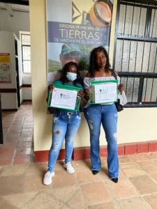
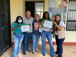
In 2022, the USAID Land for Prosperity Activity renewed its support for the land office, improving information systems and expanding staff and capacity to meet the public’s expectations. Since then, the office has delivered over 150 land titles to urban landowners.

A Successful Strategy

Since 2020, 37 USAID-supported Municipal and Regional Land Offices delivered over 3,000 land titles to families living in the urban areas of rural municipalities. In addition, the land offices have formalized more than 1,000 public properties and provided land and property services to nearly 32,000 citizens.
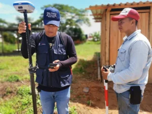
Municipal land offices are aimed at strengthening local capacity to maintain formality in land market transactions, enhancing the culture of formalization, and developing local government capacity in land governance
“The Municipal Land Office is a Center for Facilitating Conservation”

Q&A with the Mayor of Santander de Quilichao, Lucy Amparo Guzmán

In 2016, with USAID support Santander de Quilichao created a Municipal Land Office in order to improve local land administration. Since then, it has titled hundreds of properties, including lands where health centers and schools are operating. This year, the Mayor is expanding the land office’s capacity to support the National Land Agency in a massive land formalization activity covering the entire municipality. In this interview, Mayor Lucy Amparo Guzmán talks about how the Municipal Land Office has transformed Santander de Quilichao and how it is supporting conservation initiatives.


What role does the Municipal Land Office play in formalizing property?

First, the Land Office helps families to formalize their land, offering them the fundamental right to own their property. With a land title, they can gain access to credit, which can strengthen and empower the family and their economy. Additionally, the Land Office helps with planning in the municipality in the sense that the Land Office titles public properties, such as schools. The Land Office helps us with reviewing land deeds in order to plan for, create, and present agriculture projects for investment, and it helps the municipality generate sustainability over time to have a dynamic property market on a permanent basis.

When you took office in 2020, what was the state of the Land Office?

The Land Office was already created, and this shows that the previous administration had the will to make property rights a priority. This year we have strengthened the Municipal Land Office by partnering with the USAID Land for Prosperity program. Thanks to USAID, the office is improved, including trained personnel and new equipment. We have a larger team than ever before, and we seek to continue expanding in order to have the capacity to respond to the public.

How do you evaluate the work of the Municipal Land Office during the previous administration?

I think the Land Office did important things once it was created. It established the first contact with the community, and this has facilitated our work today. The community values the work of the Land Office very much and they know, through it, that if these community spaces, like schools, roads, and health centers, do not have a valid property title in the name of the municipality, there is no way we can invest in these public services.

Santander de Quilichao has seen large investments from SENA and health institutions. How important is the Municipal Land Office to carry out these projects?

Titling a property gives a project the viability to obtain resources, that is why I always say that the Land Office generates urban development and planning, not only in the short term but in the medium and long term as well. As Mayor, I have to plan for the next mayor and the Municipal Land Office can help me do this.


“Titling a property gives a project the viability to obtain resources.”

Santander de Quilichao is embarking on a process of formalizing and updating the cadaster for the entire municipality, called a parcel sweep. What does this exercise mean for the municipality?

The parcel sweep and updating of the cadaster provides all landowners the possibility of titling and registering their land as property, which is an individual right. For the municipality, which has more than 900 baldios, or government-owned, vacant lands, these properties can also be titled. In addition, the parcel sweep helps us to look at land use, including how and where to protect the environment and our water sources. All this allows us to project the municipality’s future and plan better.

How have you made strategic alliances with USAID and other actors to strengthen conservation efforts in Santander de Quilichao?

With Land for Prosperity, we are working on a partnership to protect the Palo River basin, a river that produces water for many municipalities in northern Cauca. Taking care of this river is fundamental for the people to have drinking water in the future. We are also care protecting the source of the Quilichao River. A key component of this alliance is to promote ecotourism and bird watching. In Santander de Quilichao we have some 900 hectares set aside for conservation and environmental protection. We are also generating a second reserve in one of the few remaining dry tropical forests in Colombia.
Does the Municipal Land Office also play a role in the creation of these nature reserves?
Yes, the lands that we have purchased are in the name of the municipality. This work to obtain these parcels goes back a long way in history. The Municipal Land Office helps us with the process of studying the title of the lands we want to acquire, which is retired to understand the land’s current status. In this regard, the Municipal Land Office is a center for facilitating conservation.


Is ecotourism an option to create revenue through conservation?

The first option is payment for environmental services, which includes a variety of activities, but we see above all that ecotourism is our future. We believe that in these nature reserves, the municipality has a lot to offer in terms of rural tourism, from hiking to bird watching and also tourism around the coffee process. And when we strengthen our tourism sector, we are generating new jobs for rural families.

What is the link between land legalization and economic development?

First, when people have property, they have the possibility to access credit at the bank and can improve their living conditions. Additionally, people who have a registered land title enjoy a stronger relationship with their own land. Thirdly, people can then prioritize agricultural projects and feel secure about investing in their land. Look at our coffee growers, here we have 4,000 coffee growing families, who generate a lot of income and move the local economy. Coffee is a product that generates peace and development.

This blog was originally published on the USAID Land for Prosperity Exposure page.