USAID Administrator Mark Green and Advisor to the President Ivanka Trump Announce Partnerships and New Projects through the Women’s Global Development and Prosperity (W-GDP) Initiative

USAID Press Release 
Wednesday, July 10, 2019

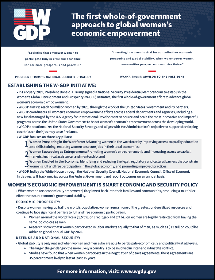
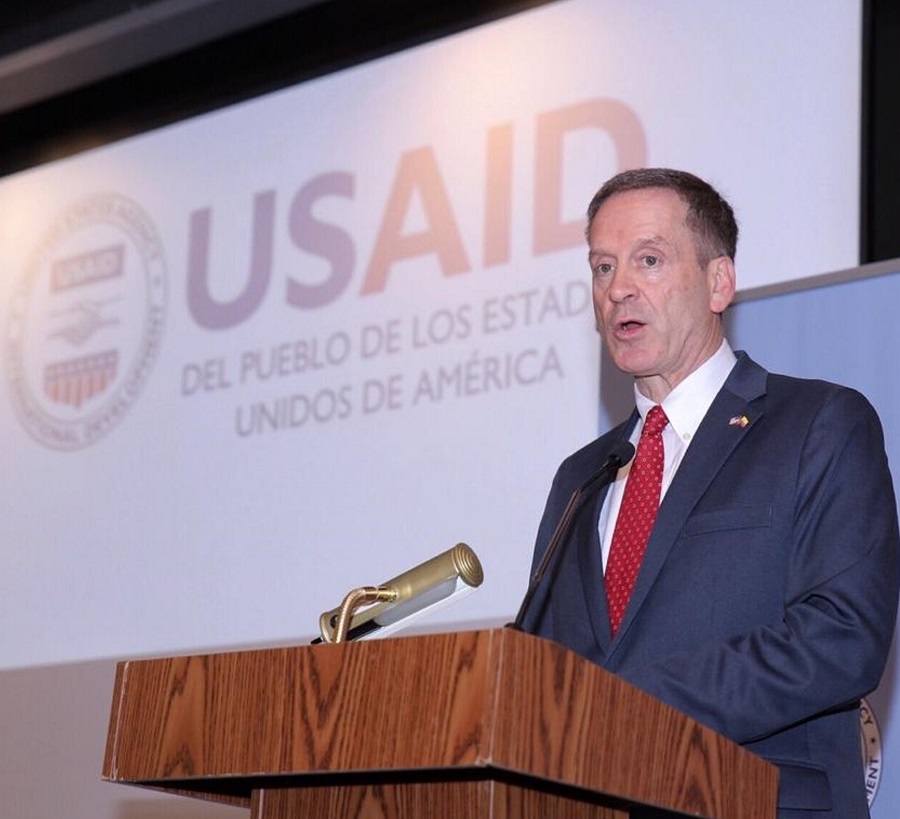
Today, U.S. Agency for International Development Administrator (USAID) Mark Green and Ivanka Trump, Advisor to the President, announced 14 new projects with more than 200 public- and private-sector partners across 22 countries to support the Women’s Global Development and Prosperity (W-GDP) Initiative. These partnerships, which include representatives from bilateral and multilateral donors, non-government organizations, universities, foreign governments, and the private sector, will enable W-GDP to reach more than 100,000 women over the coming years in support of its three pillars: women prospering in the workforce, women succeeding as entrepreneurs, and women enabled in the economy. The announcement took place in front of hundreds of partners and award recipients in an event co-hosted with the U.S. Global Leadership Coalition.

Administrator Green noted “we know that investing in women builds countries that are resilient and self-reliant. The Women’s Global Development and Prosperity Initiative will accelerate the achievement of these goals by leveraging the collective resources and expertise of the U.S. Government to unlock the full economic potential of women around the world.” Advisor Trump said “we are thrilled by the enthusiastic response since the launch of W-GDP. Through our three core pillars of women prospering in the workforce, succeeding as entrepreneurs, and advancing economic equality under the law, we are committed to delivering real results that create transformational change for women in developing countries.”

USAID manages the central W-GDP fund, established through National Security Presidential Memorandum-16, and has set aside $27 million for an Incentive Fund for the following projects:

  • A Micro-Journey to Self-Reliance: Economic Reintegration for Victims of Gender-Based Violence: Reintegrate at least 170 women victims of gender-based violence into the economy through increased employment and entrepreneurship opportunities.
  • Brazil, Chile, Colombia, México, and Perú. Women Prospering in Technology: Work with information and communications technology companies to equip 8,700 women with the skills needed for placement and promotion in tech sector jobs.
  • Côte D’Ivoire. Pro-Jeunes Vocational Training for Women in Energy:Provide vocational training and support to 750 postsecondary young women in solar-energy sales, installation, and service as entrepreneurs and employees for solar-powered micro-grids.
  • Ethiopia, Liberia, Mozambique, Tanzania, and Zambia. Property Rights for Women’s Economic Empowerment: Ensure women’s property rights through revising laws and regulations to improve the ability of millions of women to own, inherit, or use land across Africa.
  • Supporting Entrepreneurial Skills (YES-Georgia): Provide focused technical assistance for 2,500 women entrepreneurs and employees to increase their earnings and facilitate access to finance for women entrepreneurs.
  • USAID Global Development Alliance with Alaffia Alliance: Establish new processing operations in Ghana to create employment opportunities for 9,500 women in Ghana and link them with markets in the United States.
  • Producer-Owned Women’s Enterprises: Create 28 women-owned enterprises in the creative manufacturing sector that will connect 6,800 women producers to commercial supply chains in natural and biodegradable products.
  • Jadi Pendusaha Mandiri (JAPRI) – Becoming an Independent Entrepreneur: Create 2,000 registered women-owned enterprises and support growth in income and revenue for 5,000 women in poultry supply chains.
  • Papua New Guinea. Women’s Economic Empowerment: Support the growth of 40 women-led enterprises while reforming discriminatory laws and business practices that affect 50,000 women in Papua New Guinea.
  • The Philippines. The Journey to Self-Reliance through Women’s Economic Empowerment: Work with the private sector to increase earnings for 3,800 women entrepreneurs and 12,000 households, and assist local governments to address barriers that prevent women’s full economic participation.
  • Women in Rwandan Energy (WIRE): Enable 1,400 women to break into the fast-growing energy sector, while working with the Rwandan Government and the private sector to bring even more women into this traditionally male- dominated field.
  • Sénégal.Women’s Entrepreneurship Promotion and Business Investment Activity: Work with Peace Corps and the private sector to create 1,500 new jobs for women in agribusiness and equip 20,000 women with the necessary skills to increase their earnings.
  • South Africa. Women Enabling Women: Create an eco-system of women’s economic empowerment by establishing 1,000 women-owned child-care centers, which will create jobs for thousands more women while reducing the burden of unpaid care for women in the workplace.
  • West Africa.Women’s Economic Empowerment in the West Africa Trade and Investment Hub (WATIH): Ensure women-owned and managed Ghanaian agribusinesses will have greater access to markets for trade and investment.

The awarded projects will open doors to employment and entrepreneurship, and provide access to finance and tailored assistance for women in business. Moreover, the projects were carefully designed to target constraints found in laws, employer practices, and restrictive norms to improve the enabling environment for women employees, business-owners, and entrepreneurs for decades to come. The awarded projects were selected based on an interagency review process that included over 50 different points of contact who reviewed, rated, and ranked each proposal that was submitted. USAID looks forward to working with Congress in a bipartisan manner on these important initiatives.

Learn More


Additional Resources


The first whole-of-government approach to global women’s economic empowerment [download file]

“Investing in women is vital for our collective economic prosperity and global stability. When we empower women, communities prosper and countries thrive.”

IVANKA TRUMP, ADVISOR OF THE PRESIDENT


USAID Administrator Reaffirms U.S. Commitment to Colombia

Watch a short recap from U.S. Agency for International Development (USAID) Administrator Mark Green’s trip to Colombia in May 2019. In it, he describes the work USAID and Colombia are doing to improve land rights. The Administrator states, “In the coming months, the Government of Colombia will issue over 3,000 land titles. Establishing formal rights to land ownership will mitigate a key driver of conflict in the countryside and improve the quality of life for rural populations.”


Colombia’s push for land titles brings hope for farmers amid fragile peace

The following is an excerpt from an article posted on Thomson Reuters Foundation PLACE. Follow the link below for the full article. 

By Anastasia Moloney

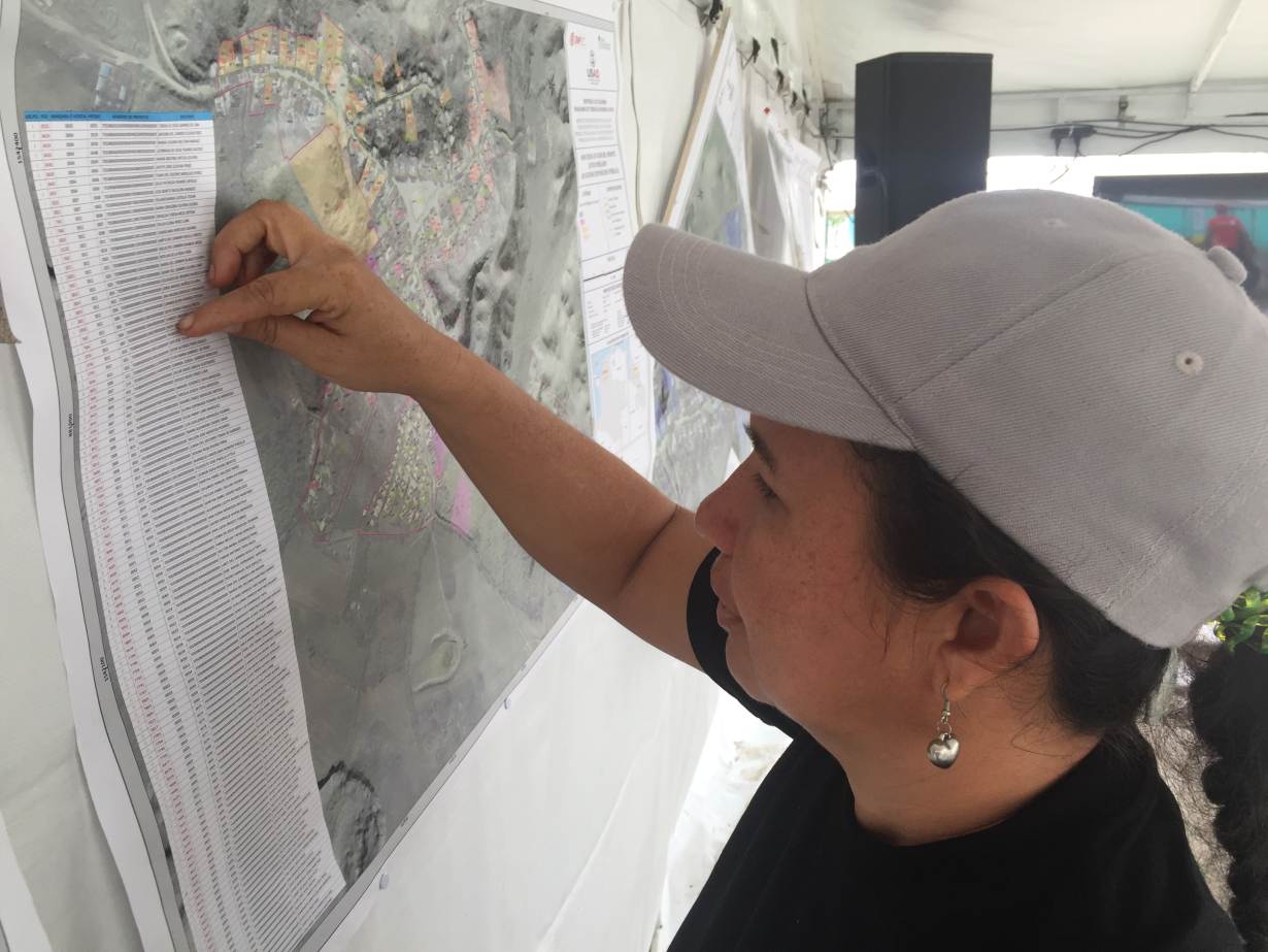
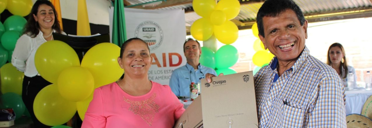
OVEJAS, Colombia, June 4 (Thomson Reuters Foundation) – Forced to flee her home to escape violence during Colombia’s half-century civil war, farmer Diana Vitola has been waiting decades to receive a formal document proving she is the lawful owner of a small plot of land.

Living in the former war-torn municipality of Ovejas in northern Colombia, Vitola belongs to a farming community set to receive nearly 3,000 land and property titles, making this the first area where most land is formalized.

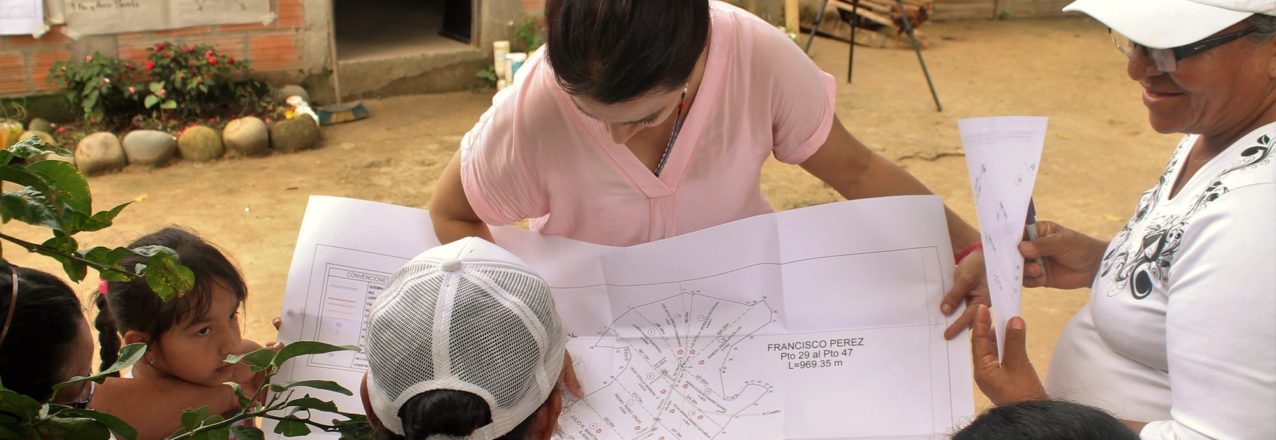
Colombian farmer Diana Vitola looks for her property on new maps created to formalize land and property in Ovejas, Colombia. May 21, 2019. Thomson Reuters Foundation/Anastasia Moloney

“We’ve been waiting years for this,” said 45-year-old Vitola, who grows maize and cassava.

“As a woman, it’s really exciting. Before women were marginalized. Now we can appear somewhere on a document. We feel important, that we have rights.”

“For the past 18 months, government officials have been visiting farms and thatched adobe homes in Ovejas on foot measuring, surveying and identifying plots of land.

Farmers now have the chance to register their property with the national land registry and receive formal titles for free.

CORNERSTONE OF PEACE

Granting land titles is part of government efforts to promote rural development as set out in the 2016 peace deal signed with the Revolutionary Armed Forces of Colombia (FARC) rebels.

Unequal land distribution was a key reason why the FARC took up arms in 1964 as a Marxist-inspired agrarian movement that fought to defend the rights of landless peasants.

The peace accord pledges to address unequal land ownership and foster development in neglected rural areas hit hard by violence.

The government aims to formalize 7 million hectares of land, of which so far nearly a quarter have been titled, according to the University of Notre Dame’s Kroc Institute for International Peace Studies.

“The land reform package is part of the attempt by the state to deliver to small farmers what has historically been denied to them, which is access to land and a dignified existence in the countryside,” said David Huey, Kroc Institute representative in Colombia.

Formal land titles will also help farmers to get access to government programs and credit, he said.

For villager Albeiro Rivera, who was also displaced by Colombia’s conflict, getting a property title to the home he grew up in and informally inherited from his father brings financial and legal security and allows him to get a bank loan.

“During the conflict, getting a land title wasn’t a priority. The priority then was to survive,” said 37-year-old Rivera.

“Having the property title means it is ours, it belongs to me and my wife. It’s a huge step. It’s now worth more and nobody can take it away from me. It would’ve been too expensive to have registered the property myself,” Rivera said.

The U.S. Agency for International Development (USAID), which is partly funding the pilot project in Ovejas, said it hopes to roll out similar initiatives over the next couple of months in other regions.

“The problem here is the lack of clarity about what land belongs to whom,” said Larry Sacks, USAID’s mission director in Colombia.

“Without the clear land rights it’s considerably more difficult to create the conditions that you need to transform rural areas to help licit markets flourish, to trigger private investment and spark economic growth,” he added.

FEW LAND TITLES

With property titles, the villagers of Ovejas are rather the exception than the rule.

Across rural Colombia, six out of 10 plots of land do not have a formal title or are not registered, according to USAID.

Granting land titles in Ovejas is relatively easy because no one disputes ownership of the plots.

Yet sorting out tenure is far harder in other parts of Colombia where land was seized by paramilitary forces, rebel groups or drug traffickers, with farmers often pressured by armed groups to sell out at cut-rate prices.

Attempts to restore landownership started during the previous government of Juan Manuel Santos, which launched a program in 2011 to return millions of hectares of stolen or abandoned land to their rightful owners.

The government then estimated 6.5 to 10 million hectares of land – up to 15% of Colombian territory – had been abandoned or illegally acquired.

Read the full story


Understanding Landscapes Using Spatial Data

This blog was originally published on ClimateLinks

Landscapes and the complex, interlinked spatial units that comprise them are changing at an accelerating rate. Land use change, especially deforestation and forest degradation, are among the main contributors to global greenhouse emissions. Quantifying and monitoring forest conversion and better understanding the drivers of these changes is therefore paramount to supporting sustainable landscapes initiatives and increasing the potential for carbon sequestration globally.

The increased availability of spatial data and satellite imagery, combined with advances in computing power, are creating unprecedented opportunities for monitoring of deforestation and forest degradation at global and regional scales.

Forest Monitoring

The USAID-supported Global Forest Watch platform enables thousands of users to access and share reliable forest information globally. Other geospatial platforms provide updated forest loss information for tropical regions, such as the Terra-I platform and the Monitoring of the Andean Amazon Project (MAAP).

Development programs are also using geospatial data and analysis at the country level to enhance understanding of forest degradation. In India, an estimated 41 percent of the total forest has been degraded to meet the country’s growing demand for fuelwood and timber. There, the USAID-funded Forest-Plus initiative uses geospatial analysis and technology to develop and rapidly share forest inventories and forest carbon estimates.

Cross-Sector Integration

Data provided through global monitoring platforms can help practitioners integrate development programming across sectors, identify high priority landscapes and monitor landscapes with high potential for carbon sequestration and/or ecosystem services. In Cambodia, USAID used spatial analysis and a landscape approach to integrate programming across sector objectives and to define the extended Prey Lang Landscape, which includes the Prey Lang Wildlife Sanctuary, protected areas and catchment basins that provide ecosystem services and are hydrologically connected to the Tonlé Sap ecosystem.

Empower Communities

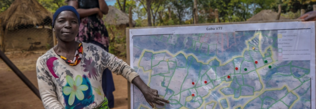
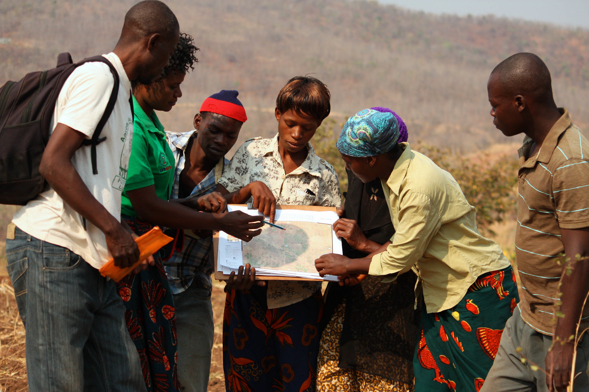
Local communities—the people who live on, manage and use landscapes and resources—are central to understanding complex landscape dynamics and addressing key drivers of land use change. USAID and other development agencies are increasingly using geospatial analysis and technology for crowdsourcing and community-based approaches, such as USAID’s MAST initiative, a participatory approach that empowers communities with the tools to quickly, accurately and transparently map and document their own land and resource rights.

Test Development Hypotheses

Geospatial analysis can also be used to generate evidence aimed at testing the theory of change and understanding the potential impact of intervention within landscapes. USAID recently used geospatial analysis as part of an impact evaluation in Zambia to analyze community perceptions of forest tenure and forest condition. Findings showed that more secure forest tenure is associated with better-reported forest condition.

Guidance and Requirements

USAID missions and partners have access to a growing number of resources to support landscape analysis and to build capacity for spatial data collection and management. USAID developed new data guidance and specific location requirements for data collection at the activity level, which helps improve decision-making and adaptive management throughout the development program cycle. This strengthens USAID’s ability to plan, deliver, assess and adapt development programming in an accountable, transparent manner.

USAID missions can also access specialized geospatial analytical and capacity building support within the Bureau for Education, Energy and the Environment/Land and Urban office or the USAID Geocenter. Missions can also leverage the capacity and expertise of the SERVIR hubs, a community of practice comprising over 50 specialists, and a consortium of YouthMappers that connects student mapping charters around the world.


Landing Home

By Land and Rural Development Program in Colombia

A municipal land office in Ovejas is giving local government a role to play in land administration.

For 72-year-old Glenys Mariela Salazar, retirement has not made life easy. A victim of Colombia’s armed conflict, her main occupation for the last 20 years has been survival. In 2001, paramilitary gangs and a bloody massacre drove her and her family from their home in Salitral, a small village in the Montes de María region of northern Colombia. She left with 10 children between the ages 3 and 16. She and her husband abandoned their business, a billiard table in the village’s main plaza, forever.

Like thousands others from the region, they ended up in the town of Ovejas, Sucre, occupying rickety huts built on the edge of the village. For several years, she and her husband went back and forth to their property in Salitral, just 30 kilometers away, trying to maintain a connection to their land and salvage what they could. When the Colombian military chased them away in 2003, they stopped returning.

They filed a claim with the country’s Land Restitution Unit but heard nothing. In 2008, an international housing subsidy reached Ovejas. The municipality granted them land, and their neighborhood of two dozen displaced families began to construct sturdy homes on the edge of the town. They were connected to the electric grid in 2011. However, they lacked regular water and had no connections for natural gas.

The Path to Ownership

Large swaths of urban centers across Colombia are populated by victims like the Salazars, families displaced from their lands and forced to live in cities. So when in 2017, the mayor of Ovejas handed Gladys a land title for her little house in Ovejas, she and her family rejoiced. This type of government support was unprecedented. Typically, local leaders spend public funds on roads, city park improvements, aqueducts, or other publicly tangible infrastructure that will convince residents the government is spending money for their benefit. Such investments tend to generate votes during election season.


MAST: Supporting Community Forest Management in Liberia

By the USAID LTS Team

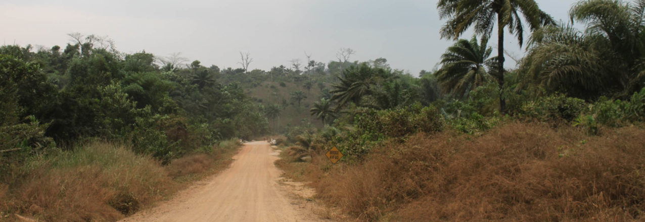
Liberia depends on its forests. The forestry sector contributes 10 percent of the country’s GDP. One in three rural Liberians (1.5 million people) live in forested areas and rely on forests for a significant source of their livelihoods. And Liberia’s forests are a global biodiversity hotspot, comprising more than half of West Africa’s remaining Upper Guinean tropical forest. Yet Liberia’s forests remain under serious threat.

Notwithstanding its importance to the country, sustainable forest management – at both national and community levels – remains a considerable challenge, in part due to lack of reliable information regarding forest condition and resources rights.[1] Moreover, communities have limited information about their customary resources, despite the recent passage of the Land Rights Act of 2017 (LRA), which provides the legal framework for forest communities to document land boundaries outside of the forest conservation areas. In response to this dilemma, USAID is testing its Mobile Applications to Secure Tenure (MAST) initiative in Liberia to help communities define, map, record, and document their resources to enhance biodiversity conservation while improving community forest management. MAST provides a participatory framework and flexible tools that empower citizens in the process of documenting and managing their forest resources. The end result is clearer, stronger rights and greater incentives to invest and conserve resources.

The MAST Liberia pilot works closely with USAID/Liberia’s Forest Incomes for Environmental Sustainability (FIFES) program and villages in Blei Community Forest in Liberia’s Nimba County to test participatory methods that enable communities to collect, validate and manage information regarding community forest and customary resources. While communities surrounding Blei Forest highly value forest protection, they are faced with the need to balance conservation with the development of alternative, resource-based sources of income. The pilot aims to enhance the community’s ability to clarify the use of forest and customary resources, to monitor their condition, and to make informed decisions. MAST can help consolidate land and forest resource information and provide an important platform to engage stakeholders in making critical decisions regarding their use.

Want to learn more about MAST? Visit the MAST Learning Platform at:

[1] Id.

A President’s Promise

By Land and Rural Development Program in Colombia

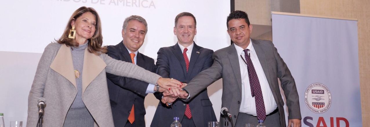
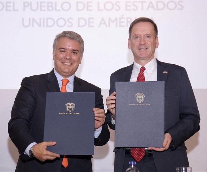
President Iván Duque signs statement of commitment to deliver land titles following the USAID-supported Massive Land Formalization Pilot.

The Final Step

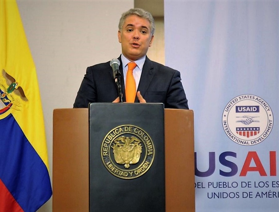
The President of Colombia, Iván Duque, and Mark Green, Administrator of the United States Agency for International Development (USAID), met and signed a joint statement of support for the Massive Land Formalization Pilot, which is nearing completion in the municipality of Ovejas, Sucre.

The Ovejas Land Formalization and Multipurpose Cadaster Pilot is an unprecedented undertaking in Colombia that reduces the overall costs of land administration by streamlining the collection and processing of land tenure and cadastral information while also providing government land agencies with comprehensive and reliable land data.

“When this government took over, less than 20% of the country had an updated cadaster. With USAID’s support and new public policy, the goal is to update the cadaster for 60% of the country by 2022, and try to reach 100% by 2024. The Ovejas Pilot in Ovejas is proof that land titling, property, financial inclusion and agriculture strengthening programs can be a reality.”
-Iván Duque, President of Colombia

Property Rights

In the signed joint statement, the Government of Colombia commits its support to bring the USAID-supported activity to completion, setting the stage for the government to continuing building on the simplification and expansion of land titling and cadaster to improve land administration in Colombia.

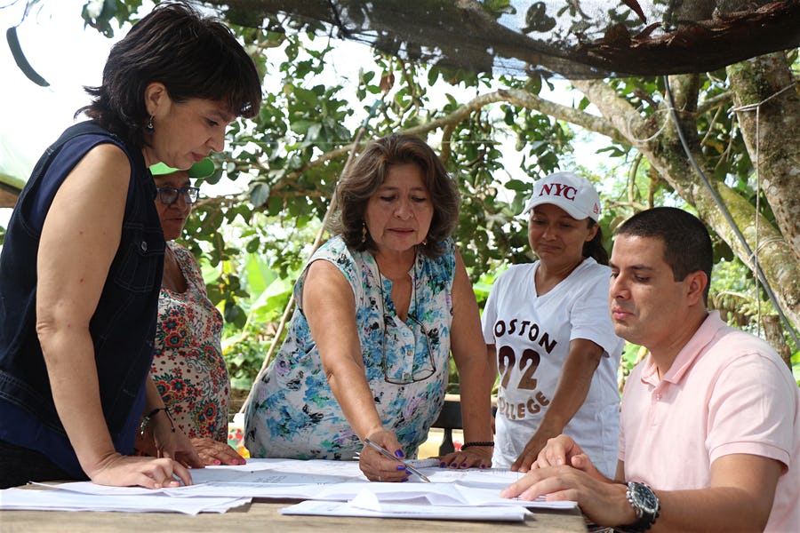
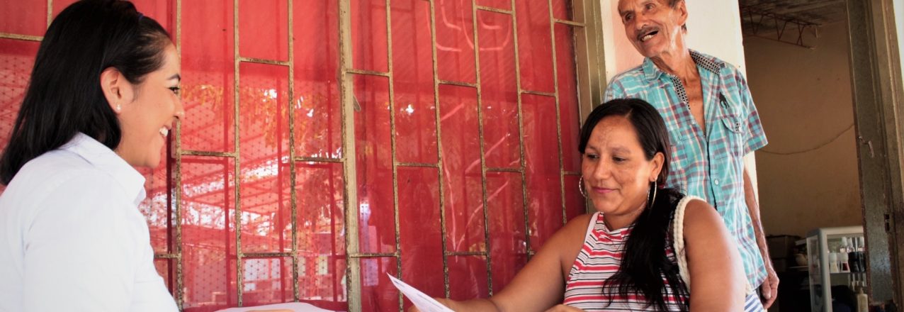
The Ovejas Pilot is facilitating property rights to around 2,900 campesinos, more than half of whom are rural women while simultaneously updating the cadaster information for 5,600 land parcels.

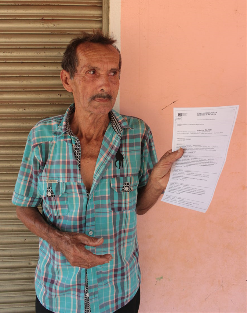
In Ovejas, six out of every 10 parcels lack property titles, creating serious impediments to a thriving environment for sustainable and inclusive rural development. The Ovejas Pilot addresses 100% of the municipality’s land informality, uses conflict resolution mechanisms, and places emphasis on women’s property rights.

“Formalizing land rights will mitigate a key driver of conflict in the countryside, and create new economic opportunity and improve quality of life for the rural population. This is an historic achievement, and I am proud of USAID’s involvement to help pilot the program; one that can be scaled throughout Colombia. It is an example of what we can accomplish together.”

-Mark Green, Administrator of USAID


What’s in a Title?

By Land and Rural Development Program in Colombia

Discussions about land tenure in development aid often end up like this: a question mark whether land titles are enough to alleviate poverty. Property titles—people tend to argue—provide landowners with an asset, which can be used as collateral to access credit and create capital to improve productivity and adopt new technologies. But are they enough to lift families out of poverty?

Experts say land titles strengthen the bond between farmers and land and create incentives to invest more in their patrimony, including their children’s future. Study after study demonstrates improvement in the factors that contribute to poverty, from reduced child labor to higher spending on education and food.

These studies are hard to dismiss, but the road to prosperity has many detours, especially for women.

In rural agriculture, ensuring land tenure for women is of particular relevance, especially where women are the main breadwinners or where antiquated land policies undermine women’s rights. The truth is that without investments in infrastructure, robust policies, and economic opportunities, a land title is little more than a small step up a big mountain.

Colombia is no stranger to the issues of land informality. A five-decade conflict often revolved around access to and the acquisition of land, and six of every 10 land parcels is informally owned. Indeed, the inequity and poverty born from the conflict led to land reform schemes that sought to go beyond “just a land title.”

For example, during several years, Colombia’s former land authority, INCODER, doled out more than 1,000 land tracts— each one known as parcelaciónto some 28,000 families. Each parcelación groups 20-plus families together and requires them to work together through a farmers’ association. The catch: they must manage their land under one land title. As one might expect, the attempt to ensure land tenure and create economic success fell short on both fronts. 


Transforming Land Rights Management in Tanzania

In Tanzania, smallholder land registrations are critical to protecting local land rights. However, since passing the Village Act in 1999 to provide for the management of village lands, the process of registration has moved slowly due to limited operational capacity. To bring the law into full effect, procedures for registration and administration need to be low-cost, simple, and equitable. In addition, the land registration system must support future transactions and allow registers to be maintained at village and district levels.

Under the Land Tenure Assistance (LTA) activity, funded by the U.S. Agency for International Development (USAID), DAI is modifying an existing tool for mapping smallholdings and detailing ownership claims—the Mobile Application to Secure Tenure (MAST)—which USAID first piloted in Tanzania. This tool will be linked to a low-cost land registry tool, the Technical Register Under Social Tenure (TRUST), which DAI is developing at the district level and plans to scale up to other areas of the country. The outcome is a low-cost, participatory land registration process that is transforming the way land rights are managed in Tanzania, with the potential for adaptation elsewhere.

Read the full story


Titling Priorities

By Land and Rural Development Program in Colombia

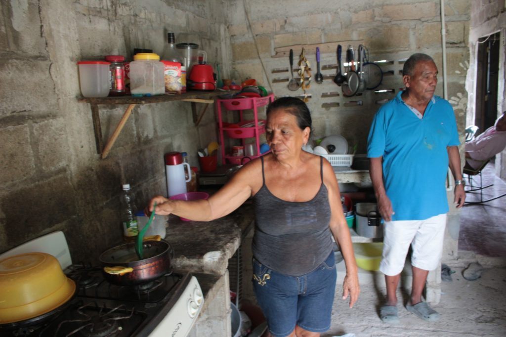
Maritza Losada moved to Puerto Guadalupe, Meta five years ago when her husband found a job with a large biomass energy company that grows sugar cane. She and her husband purchased a lot in the town’s poorest neighborhood, Barrio Nuevo. The district remains today much like it was in 1995 when the government created the housing project for future agro-laborers: no roads, no sewage, no gutters.

The town sits on banks of the Meta River, which flows into the Orinoco River, and allows farmers and agro-industrialists to transport their goods over hundreds of miles across the eastern plains of Colombia. Nevertheless, this river and the rainy season turn Maritza’s neighborhood into a muddy bog. Every year, the neighbors lay down stones and boards to build walkways to maneuver about their homes.

Over time, they have erected makeshift electric posts and wires to gain access to light and electricity. Maritza’s house too has slowly evolved, from a canvassed shack to a more durable, yet uninsulated, structure with a zinc roof and walls. Inside, there are no dividing walls or rooms; in one corner sleeps her two children, in the other she and her husband. She is currently expecting her fourth child.

With a reliable income and work benefits, under the law, her husband could access money deposited in his retirement pension for certain objectives, including for home improvements. There is only one problem the couple never processed the paperwork for a registered land title for their property. With no registered property title, Maritza and her family cannot access this nor any other government subsidy.