As demand for chocolate increases globally, companies that produce it are making sustainable sourcing a key part of their business strategy. For other companies with complex supply chains, the message is clear: sustainability means much more than brand management.
Originally published on Project Syndicate.
HERSHEY, PENNSYLVANIA – In the 1970s and 1980s, when multinational firms first linked sustainability to business success, the chief catalyst was vulnerability, not altruism. Consumer pressure, political boycotts and costly lawsuits were damaging companies’ bottom lines, and environmental policies helped shield companies from bad publicity and protect shareholders from painful losses.
Today, corporate social responsibility and sustainability are no longer fear-based. Instead, sustainability is viewed simply as a necessity for the future. This is particularly true for industries that depend on agriculture – such as the chocolate business.
With chocolate consumption near historic highs, chocolate companies like the one I work for should be relishing our success. But we are facing a looming challenge. Unless we can help produce a more sustainable cocoa crop, the world may one day need to find a new favorite treat.
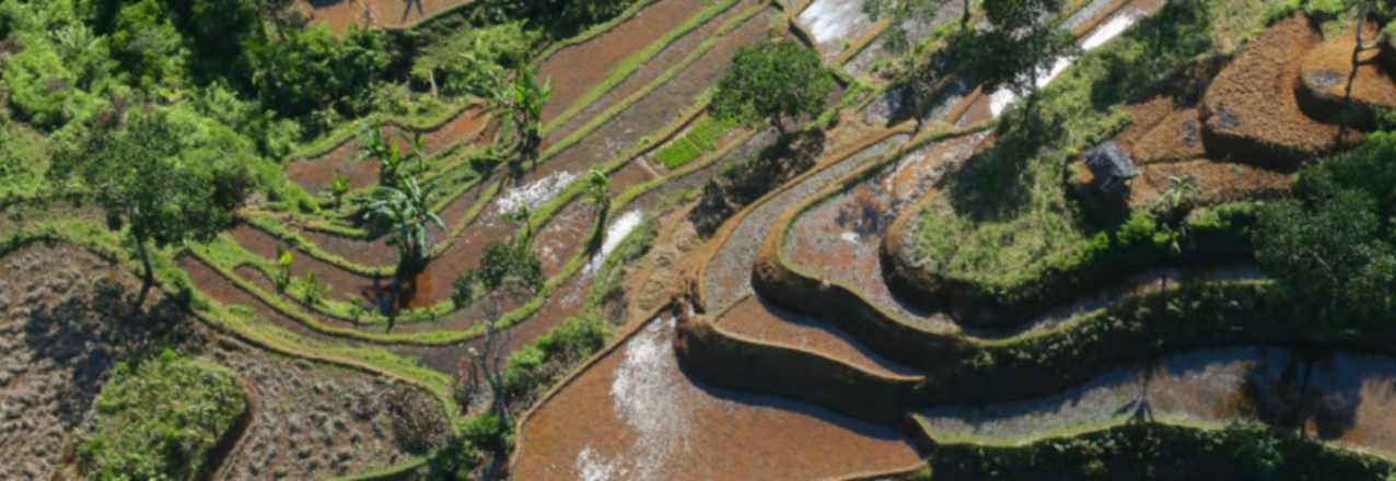
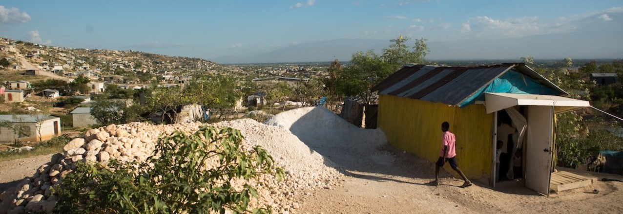
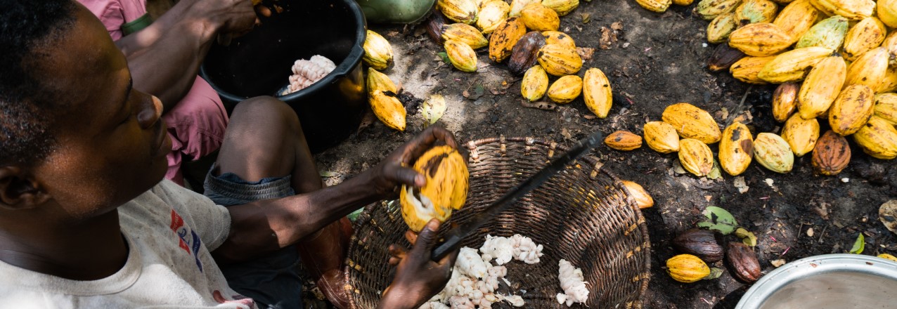
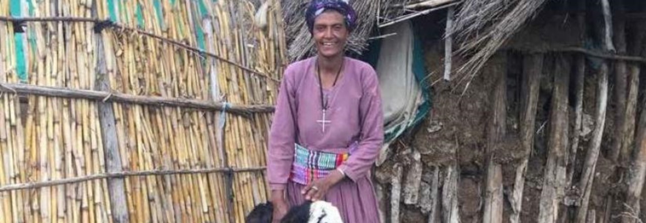
Cocoa trees thrive in just a thin band of countries along the equator, where the climate is warm and humid. Just two countries – Côte d’Ivoire and Ghana – produce the overwhelming majority of the chocolate that Americans eat. West African cocoa is an important part of Hershey’s unique flavor, but in that region, cocoa trees are aging and becoming less productive.
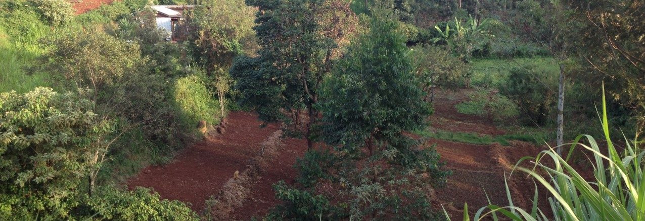
In the past, when cocoa farmers faced diminishing crop yields, they would simply clear forests and start over. But today this approach is environmentally and socially unacceptable. The only sustainable solution is to seed old cocoa farms with new trees. Unfortunately, population growth, urbanization and weak land rights are driving up demand for land, thereby undermining many farmers’ ability to invest in and replant their property. As a result, farm rehabilitation is not occurring at the scale or pace that companies like mine need if we are sustainably to meet demand well into the future.
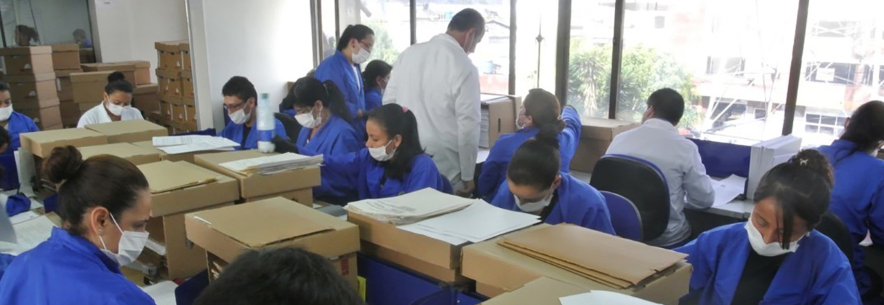
The scale of the challenge we face is significant. To meet global demand for 7.2 million metric tons of chocolate annually, multinationals like Hershey rely on millions of cocoa farmers, each of whom farms a tiny plot, often 1-2 hectares (2.5-5 acres). Our complex value chains reach deep into some of the most remote corners of the world. To keep the confections coming, we need new approaches to help those farmers grow cocoa sustainably.
If we in the cocoa sector handle the current challenge well, we can help forge a way forward for more sustainable sourcing of other agricultural products. That is the motivation behind Hershey’s new partnership with the US Agency for International Development (USAID) and ECOM, our biggest cocoa supplier in Ghana. Last year, we launched a small pilot program to help smallholder farmers increase cocoa production, eliminate cocoa-driven deforestation and boost resiliency. In particular, the initiative is designed to address two challenges faced by every grower in West Africa: land tenure and financing.
According to Ghana’s Lands Commission, less than 2% of the country’s 800,000 cocoa farmers have a legal right to the land they cultivate. Instead, farmers access property through informal agreements with a chief or a landowner. Traditionally, these oral agreements have allowed farmers to clear forests and begin farming.
But once cocoa trees stop producing after 30 years or so – or sooner if disease strikes – farmers must obtain permission from the original landowner to replant. At a time of historically high demand for land, chiefs and landowners are increasingly refusing farmers’ requests to replant. That leaves farmers with two options, neither of them good: clear virgin forests and start again or get out of the business entirely.
The partnership with USAID and ECOM seeks to address this problem by eliminating some of the hurdles to replanting. ECOM has created an innovative financing model that helps farmers remove old or diseased tree, and replant with resilient and more productive hybrids. Shade trees, maize and plantains are also being planted to help diversify incomes and increase productivity. ECOM manages the farms for three years, giving a share of the profits back to the farmers while recouping initial start-up costs.
At the same time, USAID is mapping cocoa farmers’ land and documenting their customary rights to it. Local chiefs certify the maps, thereby improving the security of farmers’ tenure. Chiefs are also being trained in mediation, to help support farmers’ land claims.
Because this approach manages to tackle an issue that has long been viewed as almost too complex to manage, it could become a model for the future. As population growth increases demand and reduces the land available to meet it, companies will have to incorporate sustainability into their operations. That means rolling up their sleeves and helping to address stubborn local challenges, such as land rights, that impede both economic development and the long-term health of international supply chains.
© Project Syndicate, 2018 www.project-syndicate.org