USAID’S Mobile Application to Secure Tenure (MAST)

In Tanzania, USAID trains youth to map and record rural land rights with an easy-to-use smartphone app—MAST.

The process allows local people to receive government-issued Certificates of Customary Rights of Occupancy (CCROs) for their land. The CCROs, paired with USAID-delivered training on land laws and women’s land rights, are increasing tenure security, empowering women, and reducing conflict.

Download the video transcript.

More information and stories on USAID’s mobile technology can be found at: usaidlandtenure.net/land-and-technology.

Technology and Land Rights: You Asked, We Answered

At the February 11, Digital Landscapes: Technology and Land Rights event we received numerous interesting questions about how rapid technological innovations in the land sector can help improve the lives of women and men across the globe. Today, we would like to share the three questions we found most interesting and provide some additional resources where you can learn more about the technologies USAID is piloting in the land sector.

Question: This [mobile] technology is great. But how does it engage with the statutory – customary divide in land rights? How would it engage with returning refugees who have no documents?

Answer: This is an important insight and one to which USAID is attentive. For example, USAID has developed Mobile Applications to Secure Tenure (MAST), a suite of flexible tools for securing customary land rights in different contexts. One of these mobile applications is currently being used to map and record customary land rights in Zambia’s Eastern Province. Approximately 90 percent of the land in Zambia is held under customary systems and there are few highly accurate and accessible maps available. With pressure to access and use land and land-based resources increasing—driving conflict over land—finding ways to secure customary rights is an important challenge. To learn more about USAID’s MAST/Zambia efforts, see this blog and this photo essay.

Question: How can women participate more actively in connecting technology and land rights, especially in the Global South?

Answer: Recognizing that it is often difficult for women to access, use and benefit from technology, USAID places a special emphasis on engaging with women—as both technology users and project beneficiaries. For example, the USAID MAST/Tanzania pilot maps and records land rights in Iringa Rural District. This project works with local youth, called Trusted Intermediaries, and trains them to capture geospatial and land rights information using GPS-enabled smartphones. USAID has worked closely will villagers to train and support female Trusted Intermediaries, and to ensure that village-level governance and land adjudication bodies have sufficient female representation. USAID has also provided specialized training on women’s land rights under the law to ensure that as rights are recorded and mapped, women have a clear, respected voice in the process. To learn more about USAID’s MAST/Tanzania efforts, see this commentary.

Question: Community-based land administration, which requires computers, can be difficult to sustain without adequate funds, electricity, secure locations, technical support. What are your tips for improving sustainability?

Answer: As noted by panelist Frank Pichel of Cadasta Foundation, new developments such as cloud-based computing and data management may be one interesting option to better ensure sustainability of community-oriented land administration. As costs to digitally host land information decease, more communities should be able to record and store a variety of information about land, boundaries, natural resources, migration routes, etc. on accessible platforms. One interesting example of a cloud-based platform that is helping promote sustainable outcomes for land management—LandPKS—was highlighted by USAID’s Senior Geospatial Analyst, Ioana Bouvier. Learn more about LandPKS (a joint project supported by USAID and USDA) here.

Learn more about technology and land rights by watching a complete recording of the Digital Landscapes panel discussion.

The Digital Landscape: Technology and Land Rights

Innovative tools and emerging technologies in the land sector offer new potential to improve the lives of women and men around the world. Rapid developments in technology are making it possible to solve development challenges in ways that seemed impossible just a few short years ago. Tools—such as smartphone apps that help people map and certify land; an open-source database that connects farmers, pastoralists and scientists across the globe; and participatory mapping programs that help clarify and secure tenure in customary settings—are making it easier for governments and local communities to efficiently manage land and resources and for individuals to understand and exercise their property rights.

Learn some of the keys for success in ensuring that technology solutions are context-appropriate, flexible, effective and sustainable. And find out from our expert panel what exciting possibilities lay ahead for technology in the land sector.

Moderator
Bhanu Rekha
Geospatial Media
Panelists
Ioana Bouvier
USAID
Frank Pichel
Cadasta Foundation
Lisa Kay Lewis
Thomson Reuters


The Best of 2015: Land Matters Photobook

This past year was filled with numerous moments to celebrate the work being done to address a critical development issue: rights to land and other resources. Secure land rights provide a foundation that helps people lift themselves out of poverty, improve food security, empower women and develop climate smart farming and land management practices. The work of USAID and its partners is becoming even more effective thanks to innovative technologies, community participation, impact evaluations and a growing body of evidence that links land rights to a host of positive outcomes. Throughout 2015, we brought you stories about this important work. Now join us in looking back at some of our favorite moments and the progress we are making.

Tanzanian woman in a field.

In Tanzania women with strong land rights were three times more likely to work off-farm and more likely to have higher earnings.

Tanzanian law gives women the right to own land, but customary systems and a lack of documented land rights have impeded many women’s ability to fully exercise their rights. USAID works in Tanzania to help secure women’s land rights using mobile and GPS technologies to map land borders and issue certificates, helping give women the documentation they need to secure their land rights. Learn about USAID’s Mobile Applications to Secure Tenure (MAST) in Tanzania »

ethiopia_year_in_photos

In Ethiopia, an increase in land allocated to women decreased household food insecurity by 36%.

Women play a vital role in global food security. They make up much of the global agricultural labor force and produce a significant amount of the food grown in developing nations. However, globally women tend to own less land than men and their land rights tend to be less secure. But if women had access to the same productive resources, including land, research tells us that crop yields would increase and this would contribute to reducing the number of hungry people globally. Read the Four Things You Should Know About Women’s Land Rights »

Woman and baby eating a meal.

“Evidence suggests that countries where women lack land ownership rights or access to credit have on average 60 percent and 85 percent more malnourished children, respectively”
United Nations Human Rights Council

Secure land rights for women not only benefit women themselves, but have a strong effect across communities, raising household incomes and improving food security. Women’s land rights most profoundly affect the lives of their children, who are more likely to receive proper nutrition, stay in school longer and receive better healthcare. Get the facts on what a mother’s land rights mean for children »

tanzania_faces
“With my land certificate I will concentrate on farming and raise tomatoes, tobacco and maise. I also put one parcel in my children’s name to protect them.”
—Arnold Nyamgalima

Meet Arnold, a villager in Ilalasimba, Tanzania where USAID piloted Mobile Applications to Secure Tenure (MAST), focused on mapping and recording land for certification. In addition to being trained on the provisions of Tanzania’s land laws, villagers like Arnold are also trained in how to effectively resolve land disputes and to recognize and respect the rights of others—especially women. Meet some of the other villagers using USAID’s MAST »

Artisanal diamond mining in Guinea

In mineral rich countries including Guinea and Cote d’Ivoire, diamonds are crucial to economic growth, but poor governance of these natural resources has all too often led to conflict and exploitation. To address the challenges of the illegal diamond trade and increase legal diamond production, USAID helps Guinea and Cote d’Ivoire improve their legal frameworks for diamond mining while strengthening the property rights of small-scale, artisanal diamond miners—improving their livelihoods and communities. Learn about Property Rights and Artisanal Diamond Development (PRADD) »

Cambodian family in a forest.
Climate change will make some lands scarce or unproductive, increasing vulnerabilities for indigenous peoples, women and the poor.

A rapidly changing environment will change the way people use, access and control land and natural resources. For this reason, strengthening land and resource rights is essential to help mitigate and adapt to climate change. Across the developing world, USAID is developing tools and testing new approaches to sustainably increase agricultural production, improve biodiversity conservation, and enhance ecosystem services. In Kenya and Namibia, for example, USAID and USDA are using mobile technology to link farmers, pastoralists, scientists and extension agents with information and tools to improve conservation and resilience through better land-use planning and land management. Learn more about land and climate change »

Two women in Zambia display the products of climate-smart agriculture
50% of forests in the developing world have insecure tenure, which is often a key driver of deforestation.

To meet the increasing food security demands of a rapidly growing global population, agricultural land must produce more food, using fewer resources, while at the same time build farmers’ resilience to the impacts of climate change. Climate smart agriculture (CSA) is one of the best ways to help smallholder farmers ensure a more sustainable future, but these practices have not been extensively adopted in part because without secure land rights, farmers lack a key incentive to invest in costly long-term climate-smart practices, since they may never see the return on their investment. Learn more about how land rights impact climate smart agriculture »

Three community members who mapped and recorded boundaries to certify customary land rights.

“The availability of registered rights provides a powerful tool for resource planning and creates incentives for households to engage in climate-smart agricultural practices, like agroforestry.”
Dr. Matthew Sommerville

In Zambia, sustainable agriculture is critical to food security and in preventing deforestation, but insecure land rights have led to conflicts and made Zambian farmers less likely to invest in climate smart approaches. That’s why USAID is working with communities to map and record boundaries and certify customary land rights in 150 villages using mobile technology. Because the community members participate in mapping their land and agree to boundaries prior receiving a certificate, this project’s approach is also helping to reduce conflicts within the community. Learn more about USAID’s land certification program in Zambia »

kenya_landpks
“The world’s most significant non-renewable resource is fertile soil.”
—The United Nations

Sustainable land management is key to combating climate change, but for farmers and pastoralists to use their land in a way that is ecologically sustainable, they must first understand the land’s potential. USAID and USDA have partnered to develop a system that collects, monitors, and aggregates information on land and soil properties that is shared globally through two mobile apps and a cloud-based platform that will allow scientists, farmers, pastoralists and extension agents to compare information and practices to better understand and manage different types of land. This platform links local rural communities with global experts to develop sustainable land management solutions. Watch this video featuring Land Potential Knowledge System (LandPKS) »

zambia_year_in_photos-1200

To continuously improve development projects, USAID uses impact evaluations to test the theories, tools and methods and determine what are the most effective strategies for reducing poverty, hunger and conflict. These rigorous impact evaluations go beyond traditional performance measurement to determine what outcomes are a direct result of the project itself, while strengthening our understanding of how different approaches fit with local contexts and needs. Today, USAID is conducting impact evaluations of land tenure programs in Ethiopia, Guinea, Liberia and Zambia. View USAID’s baseline findings »

Top 5 Things to Look for in 2016

From a mobile application to secure tenure in Tanzania, to property rights and miracle trees in Zambia, to the passage of the Sustainable Development Goals in New York, land rights remained a critical issue throughout 2015.

As a fundamental issue that underpins economic growth, food security, conflict mitigation and efforts to address climate change, land rights will continue to feature prominently on the global development stage in 2016. Here are the top 5 things to look for in the new year from USAID’s Land Office:

1) REDESIGNED WEBSITE WITH EVALUATION DATA
USAID is currently conducting rigorous impact evaluations of land tenure programs in Ethiopia, Guinea, Liberia, and Zambia. These evaluations involve large-scale, detailed surveys that are yielding large amounts of valuable data on topics such as agricultural productivity, conflict, natural resource management, and of course, perceptions of tenure security. In 2016, USAID will launch a redesigned Land Tenure website that will make these data sets open, available and free to use for all. Researchers and other interested parties will be able to explore and analyze the data sets – along with data codebooks and survey instruments – building new knowledge and improving learning and decision making in the land sector and beyond.

2) MOOC VERSION 2.0
In 2015, USAID launched the first ever Massive Open Online Course on Land Tenure and Property Rights. The response was overwhelming. Two thousand people from 62 countries signed up to take the course, bringing together valuable knowledge, experiences, insights and perspectives from across the globe. In 2016, USAID will launch an updated version of the MOOC, with revisions to the content and structure based on participant feedback from version 1.0.

3) NEW COUNTRY PROFILES
USAID’s Land Tenure country profiles are one of the most valuable resources for understanding the nuances of various countries’ laws, policies, norms, strengths, weaknesses, challenges, and needs with respect to land and resource governance. In 2016, USAID will begin updating some of our 65 country profiles with new research, information and analysis to reflect current, on the ground realities. The first batch of country profiles to be updated in the first half of 2016 will be: Burkina Faso, Cote d’Ivoire, Ethiopia, Ghana, Kosovo, Peru, Philippines, Rwanda, Tanzania, and Zambia.

4) NEW ISSUE BRIEFS
Why does land tenure matter to energy infrastructure projects? What are the social impacts and concerns related to land tenure projects? In 2016, USAID will release new issue briefs examining these and other issues, adding to our existing library of 20 land tenure-related issue briefs. The first of these new issue briefs, Land Tenure and Energy Infrastructure, will be released in January, with additional issue briefs, including Land Tenure and Social Impacts, planned for later in 2016.

5) NEW RESEARCH AND ANALYSIS
Building on research and analysis from a round of recent land tenure impact evaluations, USAID and its partners will publish new findings examining the empirical evidence around critical topics in the land sector. In 2016, USAID will publish papers looking at issues such as: how land rights relate to conserving resources and preventing deforestation; how gender norms, governance systems and economic incentives affect development projects involving land; and whether land rights act as an effective incentive for smallholder farmers to adopt climate smart agriculture. The first round of research will be available in March at the Annual World Bank Conference on Land and Poverty, with additional publications to be released throughout the year.

Five Reasons Land Mattered in 2015

Land and resource rights had an increasingly important role in 2015 due to growing evidence and recognition that having clear, secure land rights is an essential component of reducing extreme poverty, eliminating hunger and addressing climate change. That is why we are looking back at five reasons land mattered in 2015.

  1. Land is included in the Sustainable Development Goals (SDGs) as a target to eradicate poverty, end global hunger and obtain gender equality
    The SDGs define global development priorities through 2030. Now, with a land rights indicator in one of the goals, land is formally recognized as a crucial measure of progress on some of our most pressing development issues.
  2. The Girls Count Act of 2015 becomes a law and prioritizes land rights for women and girls
    Signed into law by President Obama in 2015, the Girls Count Act calls for support to programs that help secure land rights for women and girls, helping them to obtain a key asset that can lead to greater control over decision-making and positive outcomes on food security, child nutrition, health and education.
  3. Thousands join an open online course on land rights
    In September, USAID launched the first-ever Massive Open Online Course (MOOC) on land tenure and property rights. Nearly two thousand participants from over sixty countries— including representatives from donors, governments, civil society, and the private sector—have taken part in the first iteration of the course. This is the first time that a free, shared, global education tool has been developed to help development practitioners and others understand the complex challenges created by insecure land rights–and the evidenced-based global best practices for addressing them.
  4. New mobile open-source technologies are deployed by USAID to help communities map and document their rights and analyze their land.
    In many countries, it is prohibitively difficult or expensive for citizens to map and document their land, or to find out what their land can be best used for. New open-source technologies, such as readily available GPS-enabled smartphones and tablets, can help address this problem, and bring the benefits of land mapping and analysis to rural communities. In 2015, we saw a suite of Mobile Applications to Secure Tenure (MAST) launched, in Tanzania, in Kenya and Namibia, and in Zambia. These technologies are opening new doors for transparently and efficiently recording rights, documenting claims, mapping parcels and sharing information and they have the potential to dramatically lower the costs of these services.
  5. 2015: A year of good guidance on responsible investment
    In 2015, several organizations issued new guidance designed to reduce risks and increase benefits associated with private sector investments in land. These documents outline best practices related to land tenure due diligence, community consultations, mapping exercises and they provide guidance on how to develop appropriate benefit sharing arrangements. In March, USAID released its Operational Guidelines for Responsible Land-based Investments. The Operational Guidelines provided a strong basis for a tool released in August by the New Alliance on Food Security and Nutrition called the Analytical Framework for Responsible Land-based Agricultural Investments. In June, the Interlaken Group released a guidance tool supporting businesses aiming to respect land and forest rights, and in October, the FAO and OECD followed on with guidance on Responsible Agricultural Supply Chains. Taken together, these documents contribute to an expanding body of best practices for land investments.

Ask the Expert: Dr. Matthew Sommerville

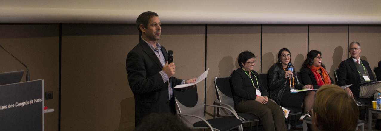
Matthew Sommerville, PhD, is the Chief of Party of USAID’s Tenure and Global Climate Change Program. This week, Dr. Sommerville presented on USAID’s work to clarify and strengthen land and resource tenure for REDD+ projects at the Global Landscapes Forum in Paris. Dr. Sommerville also demonstrated a new open-source technology that USAID currently using to map, record, and certify rights to customary lands in Zambia. As part of our Ask the Expert series, we asked Dr. Sommerville to describe some of his work on climate-change and tenure for USAID.

Question: Tell us about yourself, what is your professional background?

Answer: I manage a multi-country project for USAID that explores the relationship between secure land and resource tenure with climate change mitigation and adaptation primarily through two pilot projects in Zambia and Burma.

I have an academic background in the behavioral economics of natural resource management, particularly around structuring positive incentives (payments) and negative incentives (law enforcement), which included field research on payments for biodiversity conservation in rural Madagascar.

In 2009 when there was a big push for a climate agreement, I was part of an organization that was tracking international environmental negotiations and for the next two years, I worked on UN climate negotiations, where I developed a fond place in my heart for the unique world that the Global Landscapes Forum is a part of. When USAID started the first generation of Reducing Emissions from Deforestation and Forest Degradation (REDD+) projects in 2010, there was a lot of momentum for a cap-and-trade compliance market for credits in the US and I had the unique opportunity to work on consolidating the lessons learned from early adaptation and REDD+ as well as land tenure projects.

Question: You have done a lot of research on REDD+ and land and resource tenure. What is REDD+ and why is it important?

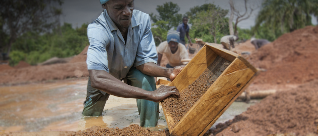
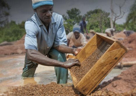
Answer: Changes to land-use is one of the largest emitters of greenhouse gases globally and for many of the countries where USAID works, deforestation and forest degradation are by far the biggest contributors to greenhouse gases. REDD+ projects promise economic incentives for reducing or reversing deforestation and forest degradation and early versions of these projects were assumed to be a low-cost way to reduce emissions.

However, over the past decade it has become increasingly clear that REDD+ is not strictly about stopping deforestation in isolated patches of forest within countries, but rather that REDD+ requires a much larger national or jurisdictional scale and often significant policy and capacity development, including in regards to land tenure. While national policy engagement adds a complex layer to project implementation, it provides great opportunities to achieve broader land use governance objectives.

Question: Why does land tenure matter for REDD+?

Answer: REDD+ is not only about providing people with financial incentives to stop cutting down trees, it is also about developing effective forest governance by establishing and implementing rules at the national and jurisdictional levels and applying monitoring and enforcement for these incentives.

Structuring positive incentives largely boils down to land and resource rights. If a stakeholder has legitimate rights, then she may be entitled to receive a payment or compensation, but if she lacks legitimate land and resource rights, she will bear the costs of enforcing her rights.

One of the main challenges that we face with land tenure and natural resource policies is that existing legal frameworks may not recognize the de facto rights of local stakeholders. So improving the legal framework to include customary land use practices is important to develop secure tenure systems and prevent deforestation.

Question: What are some ways that strengthening land and resource tenure benefits REDD+ implementation?

Answer: Clarifying and strengthening land and resource rights for local members of communities that neighbor forests provides these groups with stronger negotiating power to REDD+ activities. It allows local actors to receive greater benefits and places more responsibilities with these local stakeholders. Strengthening tenure is increasingly being recognized as a crucial component of REDD+ implementation where, for example, community lands will be demarcated or officially recognized prior to establishing land and natural resource management agreements.

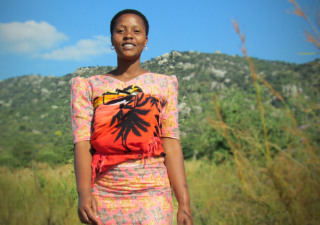
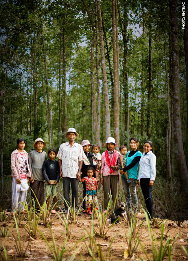
Question: Describe USAID’s work under the Tenure and Global Climate Change Program in Zambia. What does this project plan to achieve? What are some of the key challenges and lessons learned so far?

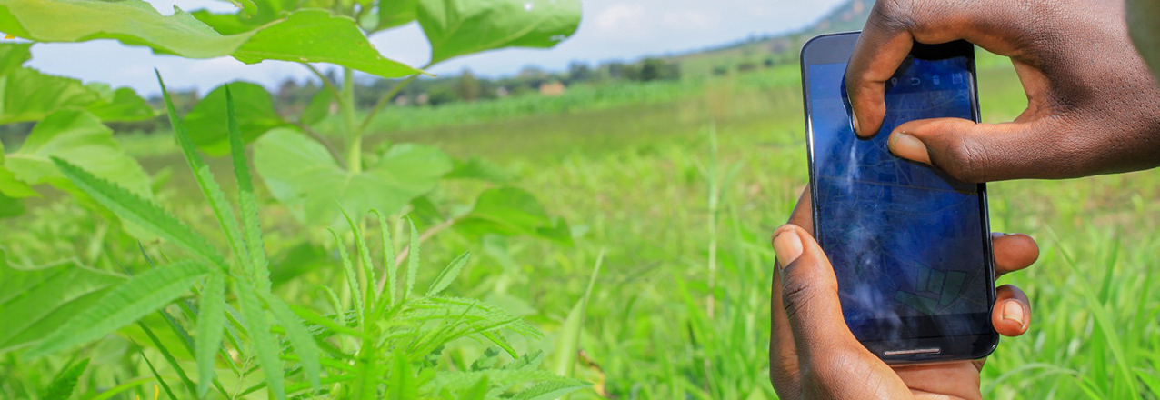
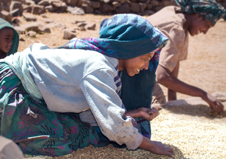
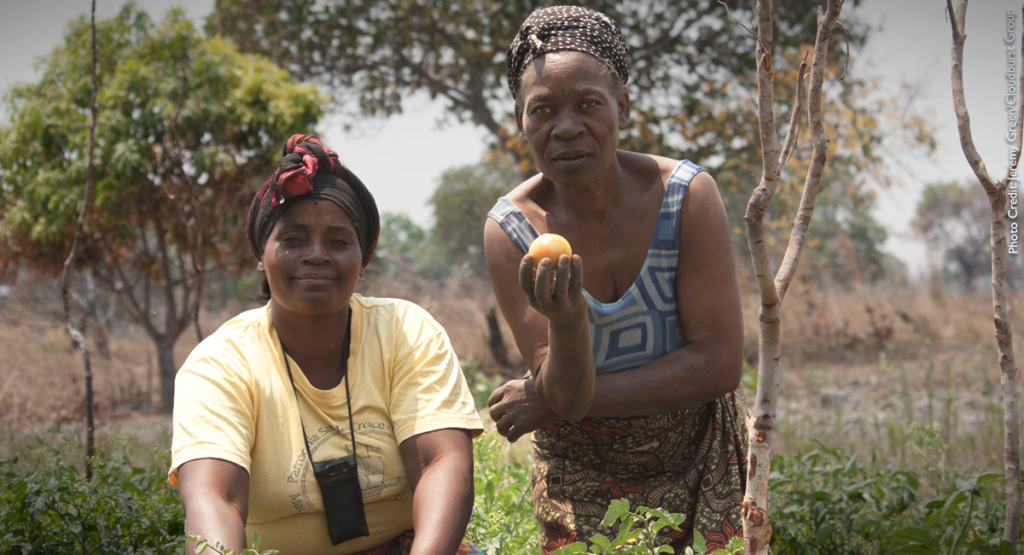
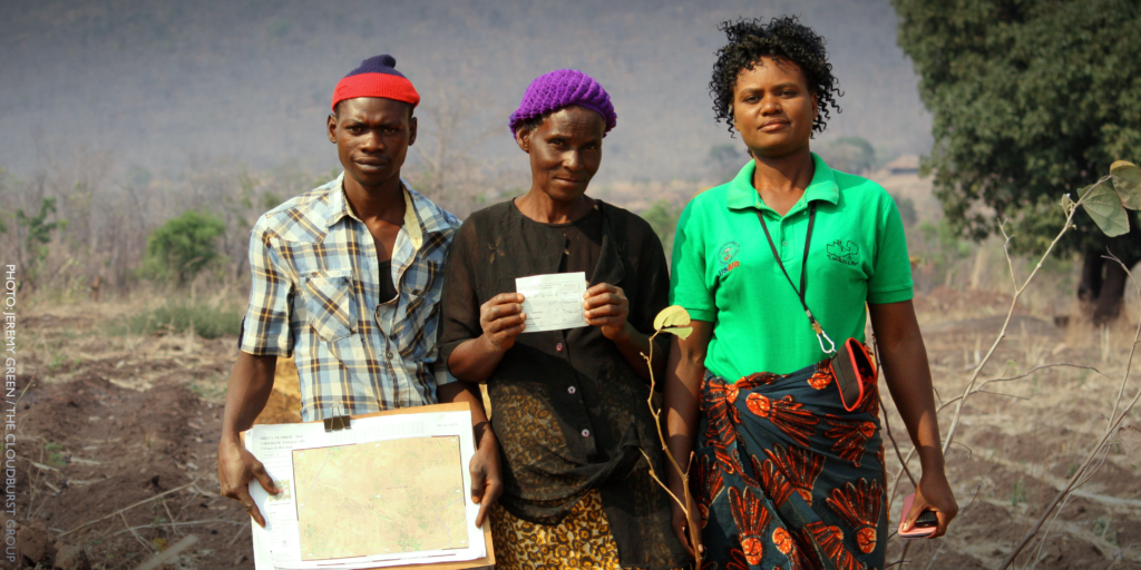
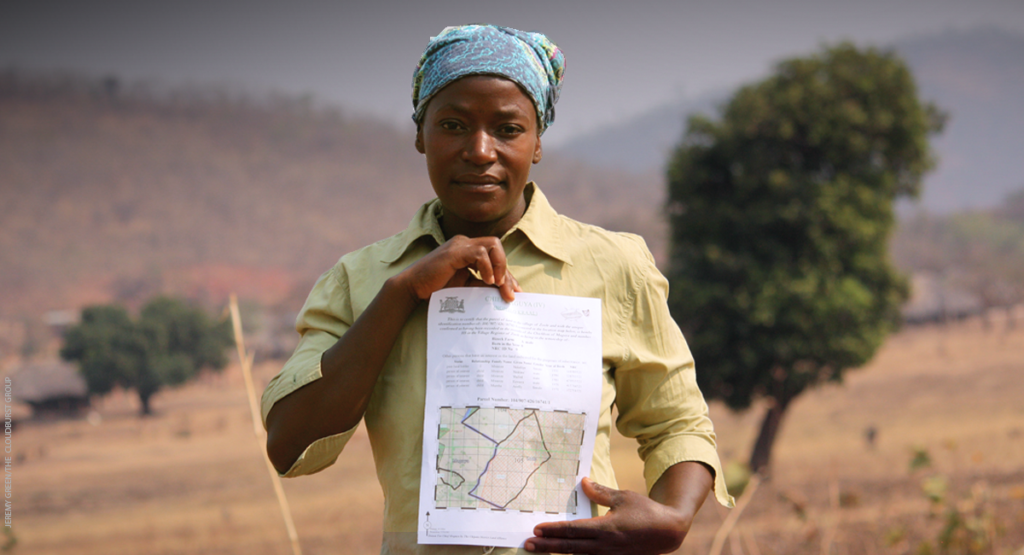
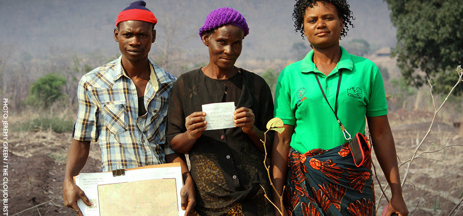
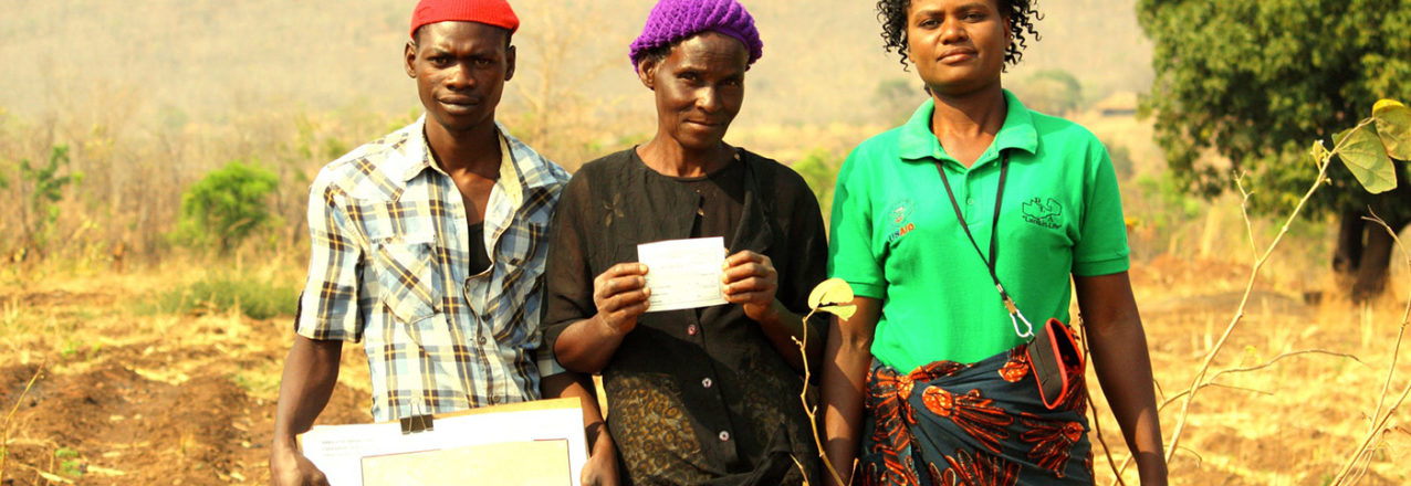
Answer: In Zambia, USAID’s Tenure and Global Climate Change project works with district land alliances to support traditional leaders by mapping customary lands for land certificates to communities and households within their chiefdoms.

This mapping of village boundaries, resources and individual household land rights, provides a powerful tool for land-use planning and helps some chiefs better understand the remaining wetland and forest resources within their jurisdiction. It also helps these chiefs engage in longer-term land-use planning, management and monitoring of the resources within the chiefdom.

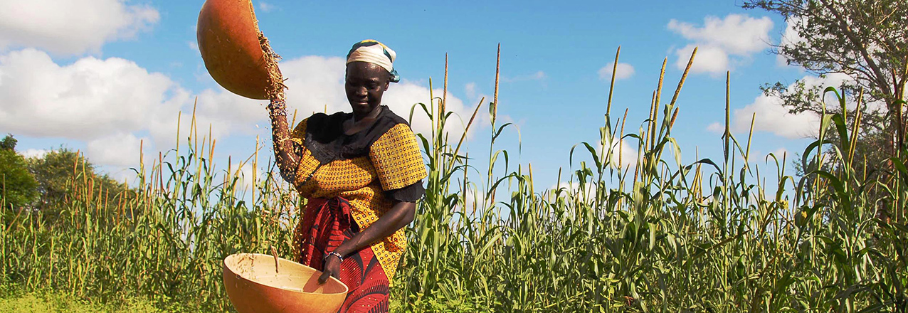
Increasingly, the Zambian government is interested in supporting chiefs and rural communities to manage their resources. The availability of registered rights provides a powerful tool for resource planning and creates incentives for households to engage in climate-smart agricultural practices, like agroforestry.

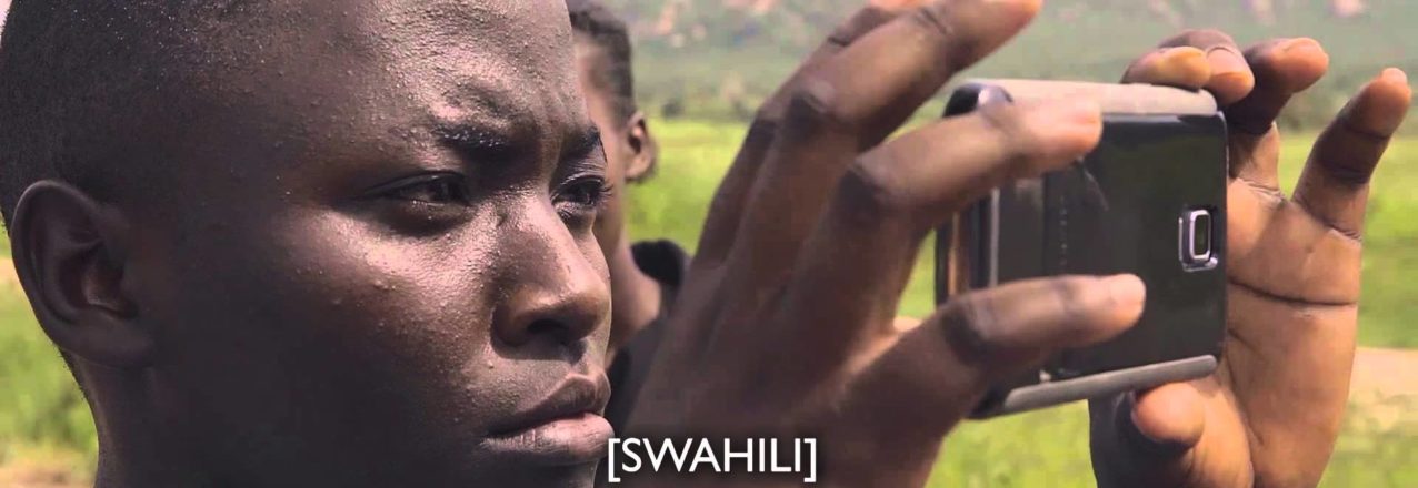
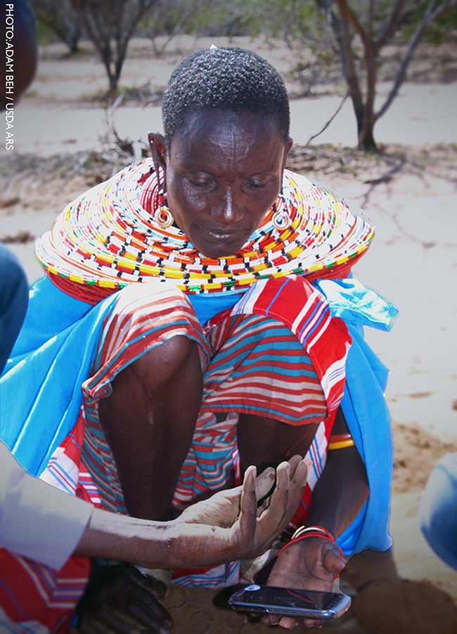
Question: How do you think open-source technology can help secure land rights and help prevent deforestation?

Answer: Putting tools in the hands of local decision makers is an important step in truly testing whether local communities can manage their resources as effectively or more effectively than central governments. There is a great deal of information and tools to help with decision making at the local level and providing local actors with access to these tools information is a challenge that open-source technology can help resolve.

Question: Community participation is an integral part of the mapping technology being used in Zambia, why do you think community participation is key to this process?

Answer: USAID’s work on the Tenure and Global Climate Change project is an attempt to document existing resource rights that have been negotiated over decades by community members, village leaders, and chiefs. A crucial part of this project is creating multiple stages that allow for community feedback to improve the process. While we are trying to map land rights at a low cost, we are also ensuring that local institutions have a real chance to verify claims.

Question: Why is the Global Landscapes Forum important? Why do you think it is significant that USAID’s Tenure and Global Climate Change project be presented here? What do you hope people take away from your presentation?

Answer: The Global Landscapes Forum is likely the biggest annual gathering of people who make decisions regarding the integration of climate change, forests, agriculture and land-use planning. There are too many people who believe that while land tenure is a critical issue, it is also too complex, too political or too sensitive to deal with. USAID’s Tenure and Global Climate Change is at the Global Landscapes Forum to stress that strengthening land tenure and resource governance does not require dramatic agrarian land reform, but rather that there are incremental steps that can support strengthening rights over time. By sharing these experiences, particularly from a wide range of USAID projects, we hope to create a momentum for strengthening land rights as both an enabling condition for adaptation and mitigation interventions and also as a key element of successful interventions.

Certifying Zambia’s Future

Documenting land rights to reduce conflict, address climate change.

Originally appeared on Exposure.

OUR MOST IMPORTANT ASSET IS LAND

In Zambia, agriculture supports the livelihood of over 70 percent of the population, including 78 percent of women.

For women and men in Zambia – as in much of the developing world – land is one of the most important assets. Clear, secure rights to land empower people to make long-term investments that reduce extreme poverty, improve food security and address climate change.


BUT RIGHTS TO LAND AND RESOURCES ARE OFTEN UNCLEAR AND INSECURE

About 90 percent of the land in Zambia is under customary control outside of the formal legal system, administered by traditional authorities, such as chiefs and headmen. The vast majority of rural Zambians live on these customary lands without formal property documentation.

Maps showing the boundaries of fields, forests or villages are often inaccurate or non-existent. The result is a lack of clarity over rights and responsibilities.

In a recent survey in Zambia’s Eastern Province, 91 percent of rural people stated a desire to acquire some form of paper documentation for their land.

Read the full photo essay on Exposure.

Land Rights: A Recipe for Success

Secure land rights play a vital role in improving food security and nutrition while reducing extreme poverty and hunger. We know that farmers who are confident that their rights to the land they cultivate will be respected in the future, are more likely to invest in improved production practices, such as soil and water conservation or tree planting, that can help boost their yields and ensure their land will remain fertile for years to come. When secure property rights can be traded, whether through sales or leases, the most capable farmers, including women and the poor, are also able to acquire more land to grow their successful farms – and their neighbors can access capital to invest in off-farm enterprises that have knock-on effects and are an important building block to create more resilient rural economies.

That’s why USAID’s Land Office is committed to help secure land rights for farmers and rural communities. Today, in recognition of Feed the Future’s progress, we are sharing traditional recipes from some of the countries where USAID’s land rights programs have helped women and men improve their harvests and increase their incomes. Bon appetit!


Doro Wot (Red Chicken Stew)
From Ethiopia
Ethiopia_wr

Ingredients
(10 Servings)

  • 5-8 pounds of chicken drumsticks and thighs skinned and cleaned
  • 8 large onions finely chopped
  • 2 cups of vegetable oil
  • 5 teaspoons minced or powdered garlic
  • 2 teaspoons minced or powdered ginger
  • ½ cup of authentic Ethiopian berbere
  • ¼ cup of paprika
  • 2 teaspoons korerima
  • 2 teaspoons wot kimem/mekelesha
  • 2 teaspoons salt (as needed)
  • 1-3 cup of water

Directions

  1. In a large pot, simmer onion, garlic and ginger with vegetable oil till lightly brown.
  2. Add berbere and paprika, continue to simmer for about 15-20 minutes at low heat stirring occasionally and adding a touch of water as needed to avoid sticking.
  3. Add chicken and simmer until chicken is done while adding the remaining water as needed.
  4. Finish simmering and add salt, korerima, wot kimem (mekelesha).

Serve hot with injera (Ethiopian flat bread made of teff).


Roasted Lamb Shank
From Tajikistan
Tajikistan_wr

Ingredients

  • 1 teaspoon salt
  • ½ teaspoon ground cumin
  • ½ teaspoon ground coriander
  • ¼ teaspoon chili pepper
  • 3-4 small lamb shanks
  • 3 tablespoons olive oil
  • 1 pound of tomatoes, quartered
  • 2 teaspoons chopped parsley & basil

Directions

  1. Heat oven to 300 degrees Fahrenheit.
  2. Mix the salt, cumin, coriander, and chili pepper together.
  3. Season the lamb shanks with the spice mixture on all sides.
  4. In an ovenproof pan over high heat, sauté the meat in the oil until brown on all sides. Add the tomatoes, cover with a lid, and cook for 2 ½ hours.
  5. Remove the lid, and cook for another 30 minutes, flipping the shanks halfway through.
  6. Take out of the oven, and let rest 10 minutes.
  7. Pull the meat from the bones, trying to keep it in large chunks.
  8. Remove the skin from the tomatoes.
  9. Garnish with chopped parsley and basil.

Serve over flatbread – with cooking liquid as desired.


Mchicha (Spinach & Peanut Curry)
From Tanzania
Tanzania_wr

Ingredients

  • 2 pounds of spinach
  • 1 ½ ounces of peanut butter
  • 1 tomato
  • 1 medium onion
  • 2 teaspoons curry powder
  • 1 cup coconut milk
  • 3 tablespoons butter
  • 1 teaspoon salt

Directions

  1. Wash and chop spinach. Peel and chop tomato and onion.
  2. Mix peanut butter and coconut milk in a separate bowl and set aside.
  3. Heat butter over medium heat in sauté pan. Add onion, tomato, curry powder and salt to pan and sauté until onions are soft – approximately 5 minutes.
  4. Add spinach and cook until wilted. Add peanut butter and coconut milk mixture to pan. Gently simmer for 5 minutes. Serve with rice, chapati.


Xoi Dua (Sweet Sticky Rice)
From Vietnam
Vietnam_wr

Ingredients

  • 2 cups of glutinous or rice (soak in warm water for at least 1 hr.)
  • 1 cup of water
  • 1 cup of lite coconut milk
  • 3 drops of green food coloring
  • ¼ teaspoon of salt
  • 4 teaspoons of sugar
  • ¼ cup of unsweetened shredded or shavings of coconut (optional)

Directions

  1. Drain the glutinous rice in a colander.
  2. Place drained rice in a mixing bowl and add salt, sugar, and food coloring. Mix well until all the grains have an even color.
  3. Add water, coconut milk and rice mixture to a non-stick pan with a lid. Turn heat to medium high and place the lid on, periodically removing it to stir the rice. Rice is done when it is sticky and translucent green.
  4. Remove the rice from the stove and let it cool for about 5 minutes. Stir in shredded coconut if desired. Serve at room temperature.

Recipe from: Simply Vietnamese


Dessert: Flan de Chocolate
From Colombia
Colombia_wr

Ingredients
(6 Servings)

Caramel

  • 1 cup sugar
  • ¼ cup water

Flan

  • 5 eggs (whites and yolks)
  • 2 egg yolks
  • 1 can sweetened condensed milk
  • 1 can evaporated milk
  • 1 cup heavy cream
  • 1 ½ tablespoon sugar
  • ¾ cup cocoa powder

Directions

  1. To prepare the caramel, put 1 cup of sugar in a small pot with ¼ cup of water. Bring to a boil over high heat. Stir once and reduce the heat to medium and cook about 5 minutes or until the syrup turns a caramel color.
  2. Immediately pour an equal amount of the caramel into each ramekin or any ovenproof mold you want to use. Swirl each dish to coat the base with the caramel, work fast as the caramel will harden quickly as it cools. Place all the ramekins in a large roasting pan and set aside.
  3. Preheat the oven to 350 F.
  4. In a medium bowl, using an electric mixer, mix the eggs, egg yolks and 1-½ tablespoons of sugar for 2 to 3 minutes. Add the condensed milk, heavy cream, evaporated milk and cocoa powder and mix for 1 more minute.
  5. Carefully pour an equal amount of the flan mixture into the caramelized ramekins in the roasting pan. Then add hot water to the roasting pan, not to the ramekins, until the water comes halfway up the sides of the ramekins.
  6. Place the roasting pan in the oven and bake for 1 hour or until a knife inserted in the center of the flan comes out clean.

Recipe from: My Colombian Recipes